Nangong night lights from space
Night Light of Nangong (Hebei) from space (China) Src. Average luminocity for 10x10km area is 15.6575% and for 50x50km: 2.2999%.
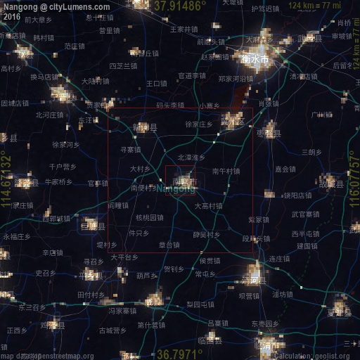
Analysis of Nangong night lights 2016
Square area 10x10 km:
 0%
0%90-99
0%80-89
1.62%70-79
1.95%60-69
2.11%50-59
4.71%40-49
7.63%30-39
5.68%20-29
1.62%10-19
4.22%0-9
70.45%Square area 50x50 km:
0%90-99
0.02%80-89
0.34%70-79
0.38%60-69
0.35%50-59
0.46%40-49
0.71%30-39
0.77%20-29
0.39%10-19
0.75%0-9
95.83%Clear (daylight) street map image can be seen on geolist.org.
Map coordinates:
37° 54' 53.5" North, 114° 40' 16.8" East
37° 21' 29" North, 115° 22' 28" East
36° 47' 49.6" North, 116° 4' 39.3" East
Some cities around Nangong sort by population:
• Shijiazhuang
109.5 km =68 mi,  313°
313°
• Xingtai
84.6 km =52.6 mi,  247°
247°
• Luancheng
86.1 km =53.5 mi, 312°
• Hengshui
50.6 km =31.4 mi,  34°
34°
• Dezhou
83.3 km =51.8 mi,  82°
82°
• Xinji
62.4 km =38.8 mi,  346°
346°
• Shahecheng
90 km =55.9 mi,  238°
238°
• Qingnian
64.9 km =40.3 mi,  152°
152°
1800065 (p: 82,386)
Sources (retrieved 2019-11-25):
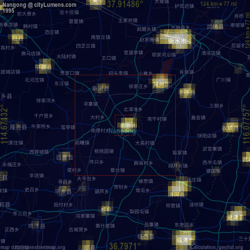
» NASA, Earths city lights 1995
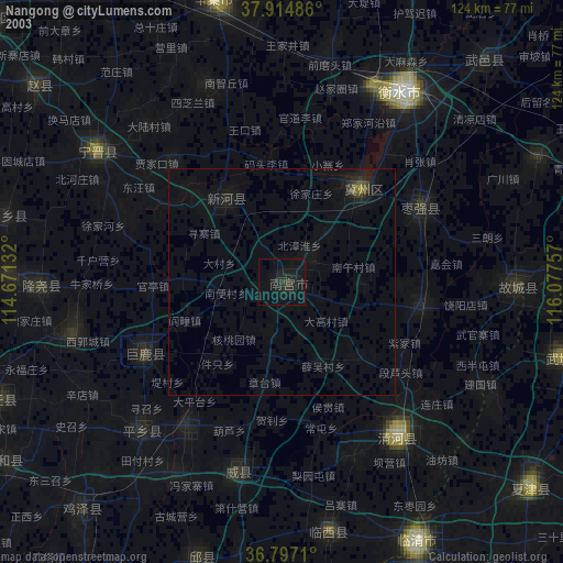
» NASA city lights 2003
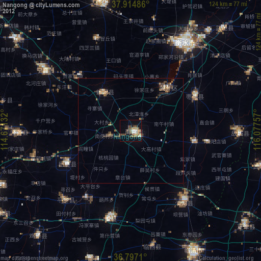
» Earth at Night: Flat Maps 2012, 2016