Wuxi night lights from space
Night Light of Wuxi (Jiangsu) from space (China) Src. Average luminocity for 10x10km area is 98.5524% and for 50x50km: 63.7609%.
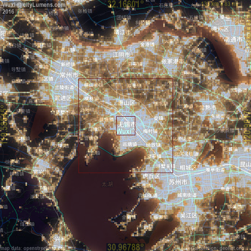

Analysis of Wuxi night lights 2016
Square area 10x10 km:
 77.97%
90-99
16.43%80-89
3.15%70-79
2.27%60-69
0.17%50-59
0%40-49
0%30-39
0%20-29
0%10-19
0%0-9
0%Square area 50x50 km:
16.14%90-99
10.76%80-89
10.46%70-79
10.24%60-69
12.96%50-59
11.71%40-49
6.54%30-39
3.82%20-29
3.62%10-19
4.86%0-9
8.88%Clear (daylight) street map image can be seen on geolist.org.
Map coordinates:
32° 9' 57.6" North, 119° 35' 7.6" East
31° 34' 7.9" North, 120° 17' 18.9" East
30° 58' 4.4" North, 120° 59' 30.1" East
Some cities around Wuxi sort by population:
• Suzhou
41.4 km =25.7 mi,  135°
135°
• Changshu City
43.8 km =27.2 mi,  78°
78°
• Changzhou
39 km =24.2 mi,  305°
305°
• Jiangyin
38.1 km =23.7 mi,  356°
356°
• Yicheng
50.1 km =31.1 mi,  242°
242°
• Songling
58.3 km =36.2 mi, 135°
• Zhangjiagang
40.6 km =25.2 mi,  35°
35°
• Mudu
41.1 km =25.5 mi,  147°
147°
1790923 (p: 3,543,719)
Sources (retrieved 2019-11-25):
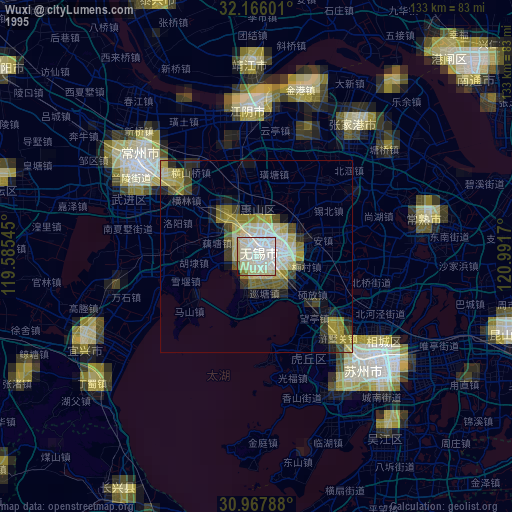
» NASA, Earths city lights 1995
» NASA city lights 2003
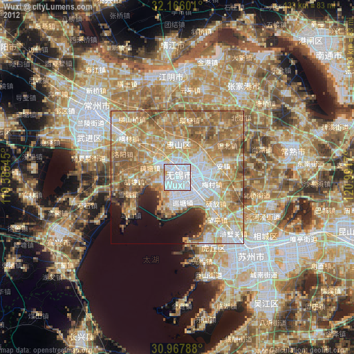
» Earth at Night: Flat Maps 2012, 2016