Changshu City night lights from space
Night Light of Changshu City (Jiangsu) from space (China) Src. Average luminocity for 10x10km area is 87.6905% and for 50x50km: 62.1861%.
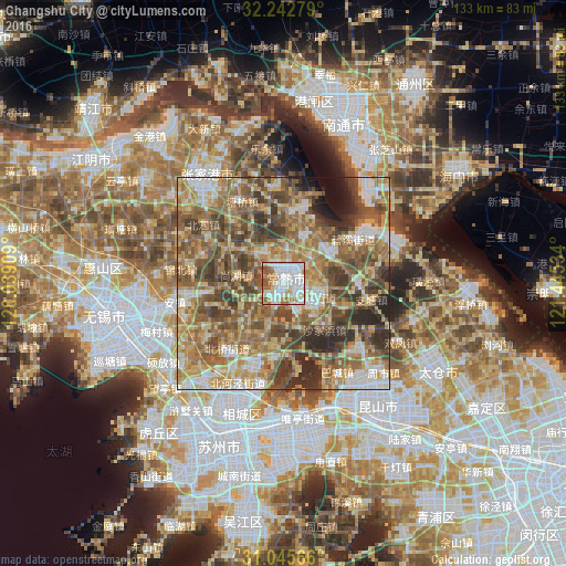
Analysis of Changshu City night lights 2016
Square area 10x10 km:
 30.95%
90-99
32.78%80-89
7.69%70-79
10.26%60-69
9.34%50-59
7.69%40-49
1.28%30-39
0%20-29
0%10-19
0%0-9
0%Square area 50x50 km:
6.84%90-99
9.35%80-89
11.1%70-79
11.45%60-69
14%50-59
15.98%40-49
12.37%30-39
9.39%20-29
6.61%10-19
2.04%0-9
0.86%Clear (daylight) street map image can be seen on geolist.org.
Map coordinates:
32° 14' 34" North, 120° 2' 20.7" East
31° 38' 46.1" North, 120° 44' 32" East
31° 2' 44.4" North, 121° 26' 43.2" East
Some cities around Changshu City sort by population:
• Suzhou
40.5 km =25.2 mi,  200°
200°
• Wuxi
43.8 km =27.2 mi,  258°
258°
• Kunshan
36 km =22.4 mi,  146°
146°
• Nantong
44.5 km =27.7 mi,  16°
16°
• Jiangyin
54 km =33.6 mi,  303°
303°
• Songling
50.4 km =31.3 mi,  182°
182°
• Zhangjiagang
31 km =19.3 mi,  321°
321°
• Mudu
48.3 km =30 mi,  206°
206°
7283386 (p: 1,047,700)
Sources (retrieved 2019-11-25):
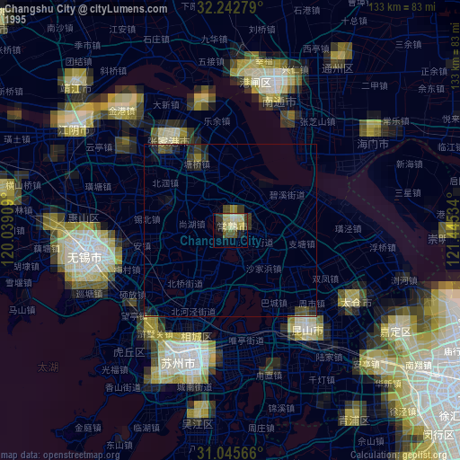
» NASA, Earths city lights 1995
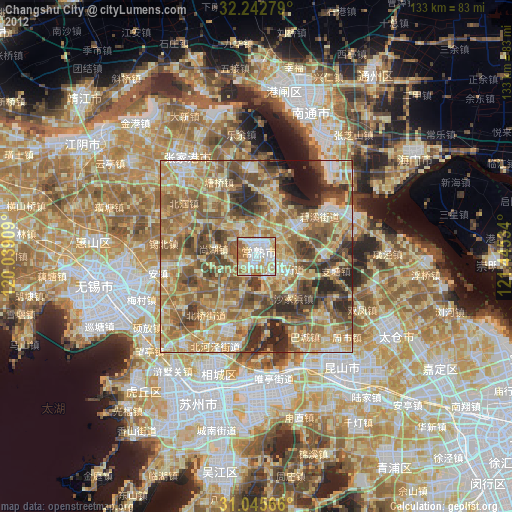
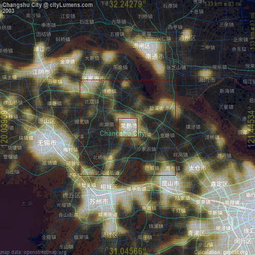
» NASA city lights 2003
» Earth at Night: Flat Maps 2012, 2016