Mudu night lights from space
Night Light of Mudu (Jiangsu) from space (China) Src. Average luminocity for 10x10km area is 92.7582% and for 50x50km: 63.6023%.
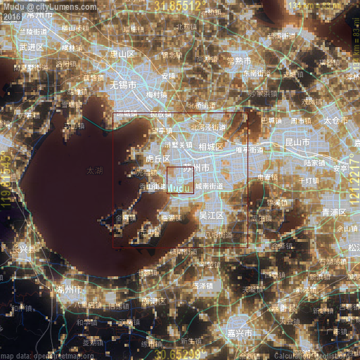
Analysis of Mudu night lights 2016
Square area 10x10 km:
 45.79%
90-99
26.37%80-89
6.59%70-79
19.05%60-69
2.01%50-59
0.18%40-49
0%30-39
0%20-29
0%10-19
0%0-9
0%Square area 50x50 km:
23.67%90-99
13.36%80-89
7.99%70-79
8.36%60-69
5.91%50-59
5.21%40-49
5.31%30-39
5.24%20-29
5.72%10-19
10.77%0-9
8.45%Clear (daylight) street map image can be seen on geolist.org.
Map coordinates:
31° 51' 18.4" North, 119° 48' 55.6" East
31° 15' 21.5" North, 120° 31' 6.9" East
30° 39' 10.8" North, 121° 13' 18.1" East
Some cities around Mudu sort by population:
• Suzhou
9 km =5.6 mi,  53°
53°
• Wuxi
41.1 km =25.5 mi,  327°
327°
• Kunshan
43.5 km =27 mi,  71°
71°
• Changshu City
48.3 km =30 mi,  26°
26°
• Songling
20.2 km =12.6 mi,  110°
110°
• Wuzhen
56.9 km =35.4 mi,  183°
183°
• Zhujiajiao
53.8 km =33.4 mi, 107°
• Zhouzhuang
34.6 km =21.5 mi,  116°
116°
1898359 (p: 61,902)
Sources (retrieved 2019-11-25):
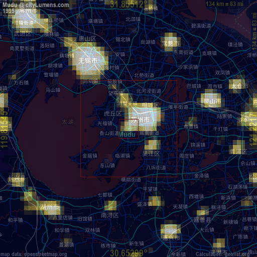
» NASA, Earths city lights 1995
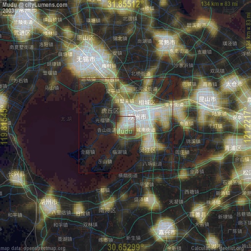
» NASA city lights 2003
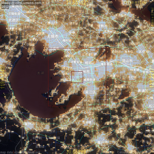
» Earth at Night: Flat Maps 2012, 2016