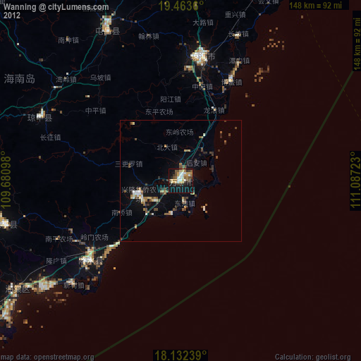
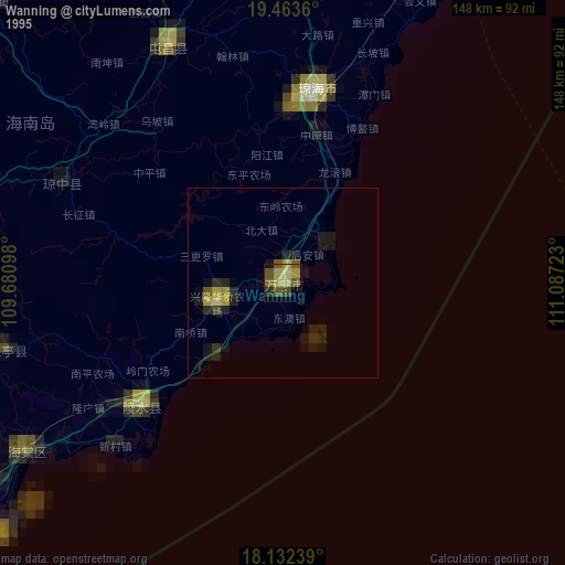
Wanning night lights from space
Night Light of Wanning (Hainan) from space (China) Src. Average luminocity for 10x10km area is 45.4437% and for 50x50km: 5.6136%.


Analysis of Wanning night lights 2016
Square area 10x10 km:
 5.19%
5.19%90-99
6.93%80-89
9.52%70-79
4.11%60-69
9.09%50-59
6.49%40-49
8.87%30-39
4.33%20-29
10.61%10-19
32.68%0-9
2.16%Square area 50x50 km:
0.2%90-99
0.32%80-89
0.67%70-79
0.66%60-69
1.16%50-59
0.91%40-49
1.34%30-39
1.09%20-29
1.11%10-19
4.86%0-9
87.68%Clear (daylight) street map image can be seen on geolist.org.
Map coordinates:
19° 27' 49" North, 109° 40' 51.5" East
18° 47' 57.5" North, 110° 23' 2.8" East
18° 7' 56.6" North, 111° 5' 14" East
Some cities around Wanning sort by population:
• Dadonghai
112.4 km =69.8 mi,  235°
235°
• Haikou
138.7 km =86.2 mi,  358°
358°
• Qionghai
50 km =31.1 mi,  9°
9°
• Xiuying
133.9 km =83.2 mi, 355°
• Sanya
111.4 km =69.2 mi, 236°
• Wenchang
98.5 km =61.2 mi,  22°
22°
• Qiongshan
134.2 km =83.4 mi, 358°
• Jinjiang
110.6 km =68.7 mi,  339°
339°
1791779 (p: 64,954)
Sources (retrieved 2019-11-25):
» NASA, Earths city lights 1995
» NASA city lights 2003
» Earth at Night: Flat Maps 2012, 2016