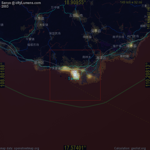
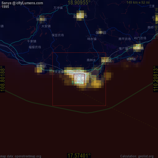
Sanya night lights from space
Night Light of Sanya (Hainan) from space (China) Src. Average luminocity for 10x10km area is 72.4307% and for 50x50km: 16.3401%.


Analysis of Sanya night lights 2016
Square area 10x10 km:
 17.53%
90-99
18.4%80-89
14.07%70-79
13.42%60-69
6.06%50-59
7.36%40-49
5.19%30-39
6.71%20-29
9.52%10-19
1.73%0-9
0%Square area 50x50 km:
1.55%90-99
1.98%80-89
3.62%70-79
2.58%60-69
1.99%50-59
2.49%40-49
2.32%30-39
2.37%20-29
4.91%10-19
9.81%0-9
66.39%Clear (daylight) street map image can be seen on geolist.org.
Map coordinates:
18° 54' 34.4" North, 108° 48' 6.8" East
18° 14' 35" North, 109° 30' 18" East
17° 34' 26.4" North, 110° 12' 29.3" East
Some cities around Sanya sort by population:
• Dadonghai
2.6 km =1.6 mi,  167°
167°
• Qionghai
150.2 km =93.3 mi,  42°
42°
• Xiuying
212.3 km =131.9 mi,  22°
22°
• Wenchang
201 km =124.9 mi, 40°
• Qiongshan
215.3 km =133.8 mi, 24°
• Jinjiang
173.5 km =107.8 mi, 17°
• Wanning
111.4 km =69.2 mi,  56°
56°
• Lincheng
186.1 km =115.6 mi,  5°
5°
1796556 (p: 144,753)
Sources (retrieved 2019-11-25):
» NASA, Earths city lights 1995
» NASA city lights 2003
» Earth at Night: Flat Maps 2012, 2016