Tongren night lights from space
Night Light of Tongren (Guizhou) from space (China) Src. Average luminocity for 10x10km area is 47.869% and for 50x50km: 4.1048%.
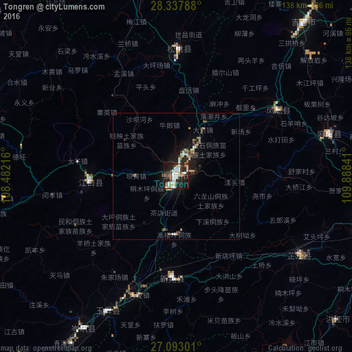
Analysis of Tongren night lights 2016
Square area 10x10 km:
 10.71%
90-99
14.88%80-89
1.79%70-79
4.76%60-69
2.98%50-59
4.56%40-49
6.15%30-39
5.95%20-29
17.46%10-19
26.98%0-9
3.77%Square area 50x50 km:
0.61%90-99
0.74%80-89
0.21%70-79
0.44%60-69
0.48%50-59
0.36%40-49
0.86%30-39
0.46%20-29
1.23%10-19
3.69%0-9
90.92%Clear (daylight) street map image can be seen on geolist.org.
Map coordinates:
28° 20' 16.4" North, 108° 28' 55.8" East
27° 43' 2" North, 109° 11' 7" East
27° 5' 34.8" North, 109° 53' 18.3" East
Some cities around Tongren sort by population:
• Fenghuang
47.4 km =29.5 mi,  59°
59°
• Huaihua
82.4 km =51.2 mi,  101°
101°
• Qianzhou
85.9 km =53.4 mi,  38°
38°
• Hongjiang
104.7 km =65.1 mi,  130°
130°
• Anjiang
100.7 km =62.6 mi,  116°
116°
• Shiqian
96.8 km =60.1 mi,  257°
257°
• Qiancheng
82.3 km =51.1 mi,  135°
135°
• Simenqian
169.5 km =105.3 mi, 98°
1792592 (p: 90,593)
Sources (retrieved 2019-11-25):
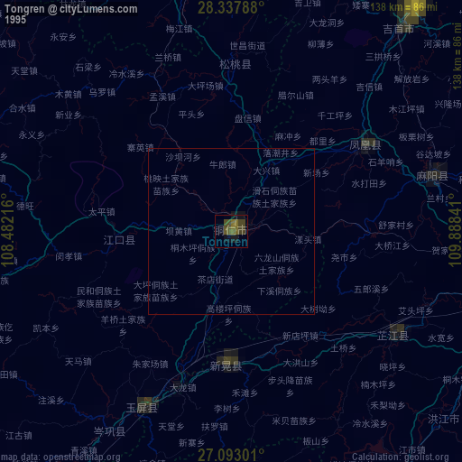
» NASA, Earths city lights 1995
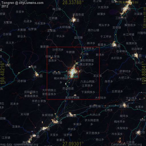
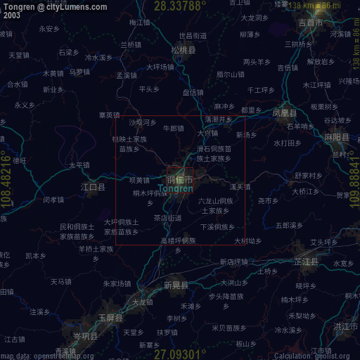
» NASA city lights 2003
» Earth at Night: Flat Maps 2012, 2016