Anjiang night lights from space
Night Light of Anjiang (Hunan) from space (China) Src. Average luminocity for 10x10km area is 3.9053% and for 50x50km: 2.392%.
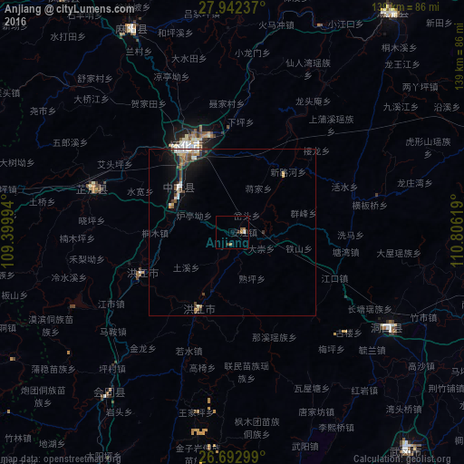
Analysis of Anjiang night lights 2016
Square area 10x10 km:
 0.19%
0.19%90-99
0.57%80-89
0%70-79
1.52%60-69
0.76%50-59
0.38%40-49
1.14%30-39
0.76%20-29
0.76%10-19
0%0-9
93.94%Square area 50x50 km:
0.27%90-99
0.42%80-89
0.18%70-79
0.24%60-69
0.23%50-59
0.46%40-49
0.45%30-39
0.33%20-29
0.42%10-19
1.82%0-9
95.18%Clear (daylight) street map image can be seen on geolist.org.
Map coordinates:
27° 56' 32.5" North, 109° 23' 59.8" East
27° 19' 10" North, 110° 6' 11" East
26° 41' 34.8" North, 110° 48' 22.3" East
Some cities around Anjiang sort by population:
• Fenghuang
84.6 km =52.6 mi,  324°
324°
• Huaihua
28.8 km =17.9 mi,  340°
340°
• Tongren
100.7 km =62.6 mi,  296°
296°
• Hongjiang
25.6 km =15.9 mi,  204°
204°
• Shijiang
73.2 km =45.5 mi,  111°
111°
• Qiancheng
36.6 km =22.7 mi,  245°
245°
• Liuduzhai
82.3 km =51.1 mi,  86°
86°
• Simenqian
79.5 km =49.4 mi,  76°
76°
1818051 (p: 55,421)
Sources (retrieved 2019-11-25):
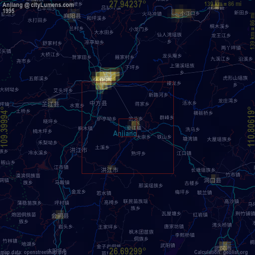
» NASA, Earths city lights 1995
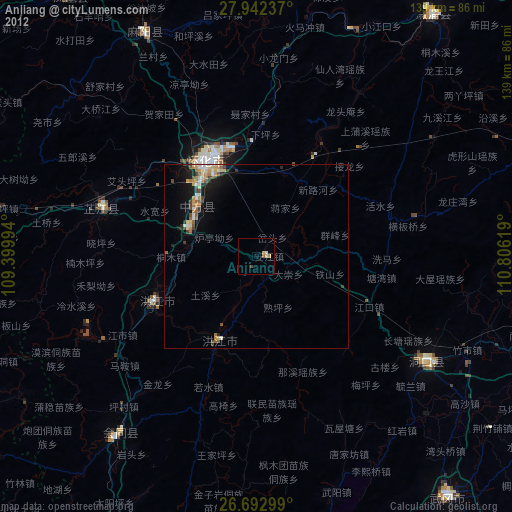
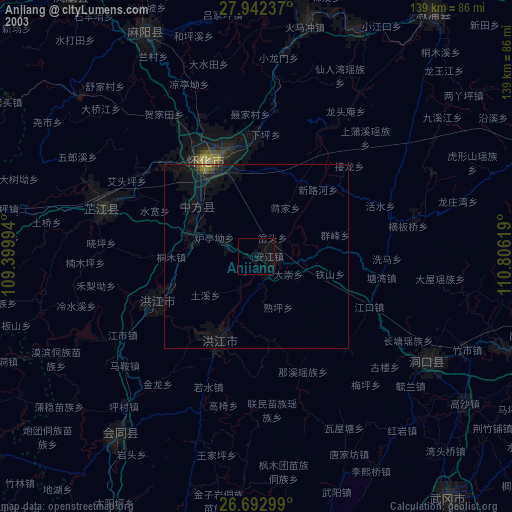
» NASA city lights 2003
» Earth at Night: Flat Maps 2012, 2016