Tianshui night lights from space
Night Light of Tianshui (Gansu) from space (China) Src. Average luminocity for 10x10km area is 30.6101% and for 50x50km: 4.4485%.
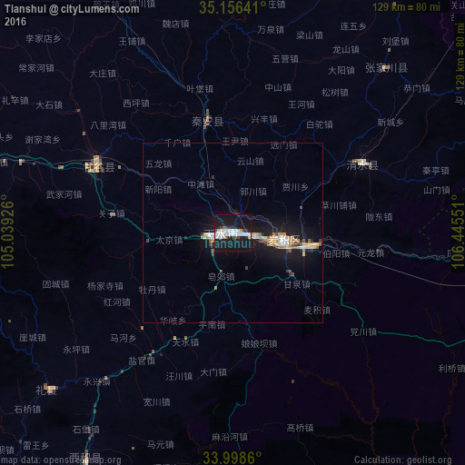
Analysis of Tianshui night lights 2016
Square area 10x10 km:
 7.69%
7.69%90-99
9.09%80-89
1.4%70-79
0.35%60-69
0.35%50-59
1.92%40-49
1.4%30-39
3.85%20-29
4.9%10-19
52.1%0-9
16.96%Square area 50x50 km:
0.59%90-99
0.76%80-89
0.41%70-79
0.66%60-69
0.46%50-59
0.36%40-49
0.33%30-39
0.41%20-29
0.6%10-19
6.16%0-9
89.26%Clear (daylight) street map image can be seen on geolist.org.
Map coordinates:
35° 9' 23.1" North, 105° 2' 21.3" East
34° 34' 46.3" North, 105° 44' 32.6" East
33° 59' 55" North, 106° 26' 43.8" East
Some cities around Tianshui sort by population:
• Lanzhou
238.3 km =148.1 mi,  313°
313°
• Guangyuan
237.8 km =147.8 mi,  178°
178°
• Linxia Chengguanzhen
257.1 km =159.8 mi,  296°
296°
• Hanzhong
204.8 km =127.3 mi,  144°
144°
• Pingliang
137 km =85.1 mi,  38°
38°
• Guozhen
150.1 km =93.3 mi,  99°
99°
• Beidao
13.9 km =8.6 mi, 95°
• Mawu
77.7 km =48.3 mi,  257°
257°
1792892 (p: 3,500,000)
Sources (retrieved 2019-11-25):
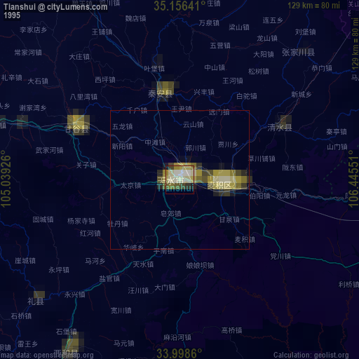
» NASA, Earths city lights 1995
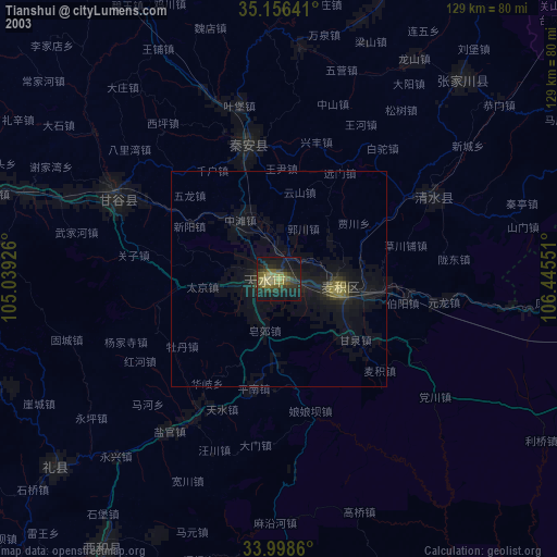
» NASA city lights 2003
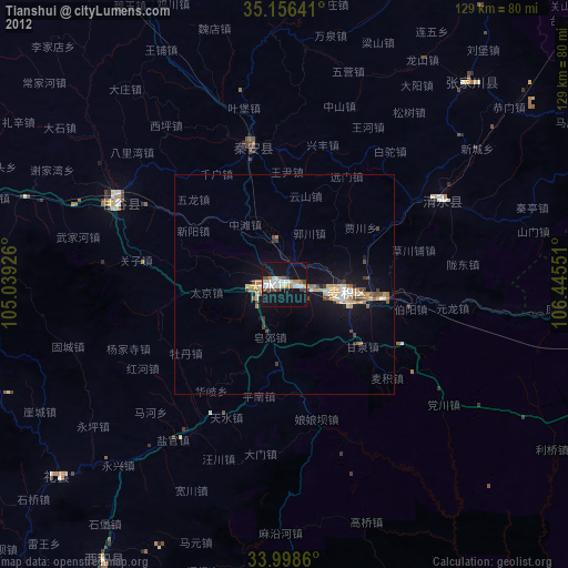
» Earth at Night: Flat Maps 2012, 2016