Mawu night lights from space
Night Light of Mawu (Gansu) from space (China) Src. Average luminocity for 10x10km area is 0% and for 50x50km: 0.0454%.
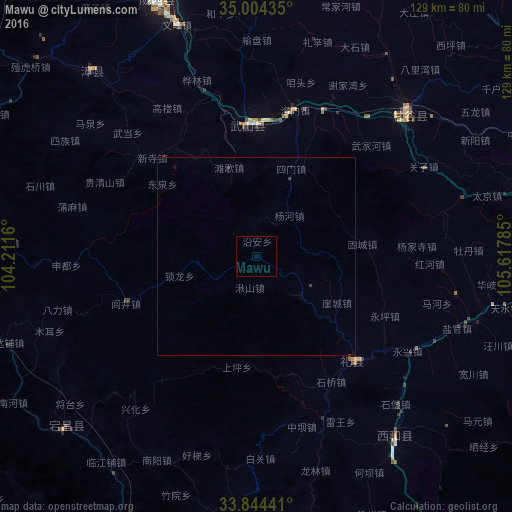
Analysis of Mawu night lights 2016
Square area 10x10 km:
 0%
0%90-99
0%80-89
0%70-79
0%60-69
0%50-59
0%40-49
0%30-39
0%20-29
0%10-19
0%0-9
100%Square area 50x50 km:
0%90-99
0%80-89
0%70-79
0%60-69
0%50-59
0%40-49
0.06%30-39
0.01%20-29
0.02%10-19
0.04%0-9
99.87%Clear (daylight) street map image can be seen on geolist.org.
Map coordinates:
35° 0' 15.7" North, 104° 12' 41.8" East
34° 25' 35" North, 104° 54' 53" East
33° 50' 39.9" North, 105° 37' 4.3" East
Some cities around Mawu sort by population:
• Tianshui
77.7 km =48.3 mi,  77°
77°
• Lanzhou
205.9 km =127.9 mi,  331°
331°
• Guangyuan
236.2 km =146.8 mi,  159°
159°
• Linxia Chengguanzhen
203.1 km =126.2 mi,  309°
309°
• Baiyin
245.2 km =152.4 mi,  344°
344°
• Pingliang
203.3 km =126.3 mi,  52°
52°
• Guozhen
224.4 km =139.4 mi,  91°
91°
• Beidao
91.1 km =56.6 mi, 79°
1800965 (p: 11,015)
Sources (retrieved 2019-11-25):
» Earth at Night: Flat Maps 2012, 2016