Linxia Chengguanzhen night lights from space
Night Light of Linxia Chengguanzhen (Gansu) from space (China) Src. Average luminocity for 10x10km area is 37.9108% and for 50x50km: 2.5159%.
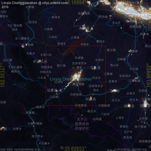
Analysis of Linxia Chengguanzhen night lights 2016
Square area 10x10 km:
 2.27%
2.27%90-99
8.39%80-89
7.52%70-79
7.34%60-69
3.15%50-59
5.42%40-49
4.02%30-39
6.47%20-29
5.77%10-19
34.44%0-9
15.21%Square area 50x50 km:
0.09%90-99
0.34%80-89
0.39%70-79
0.4%60-69
0.24%50-59
0.41%40-49
0.39%30-39
0.63%20-29
0.42%10-19
2.15%0-9
94.54%Clear (daylight) street map image can be seen on geolist.org.
Map coordinates:
36° 10' 11.8" North, 102° 30' 11.8" East
35° 36' 1" North, 103° 12' 23" East
35° 1' 35.5" North, 103° 54' 34.3" East
Some cities around Linxia Chengguanzhen sort by population:
• Tianshui
257.1 km =159.8 mi,  116°
116°
• Lanzhou
76.4 km =47.5 mi,  48°
48°
• Xining
173 km =107.5 mi,  311°
311°
• Wuwei
263.7 km =163.9 mi,  348°
348°
• Baiyin
136.3 km =84.7 mi,  39°
39°
• Pingliang
314.8 km =195.6 mi,  91°
91°
• Beidao
270 km =167.8 mi, 115°
• Mawu
203.1 km =126.2 mi,  129°
129°
1803331 (p: 202,402)
Sources (retrieved 2019-11-25):
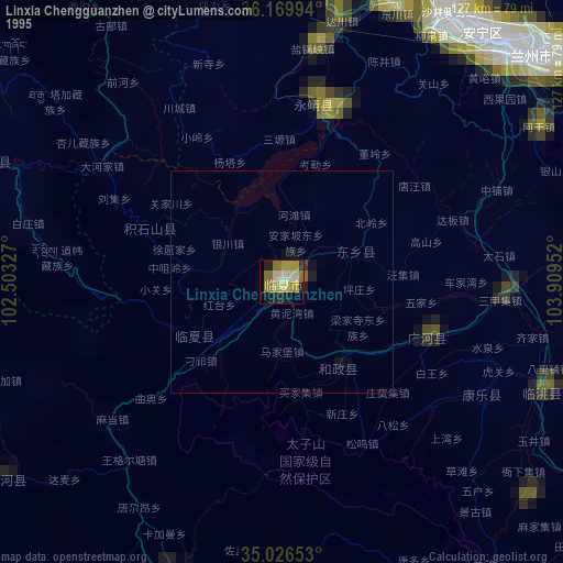
» NASA, Earths city lights 1995
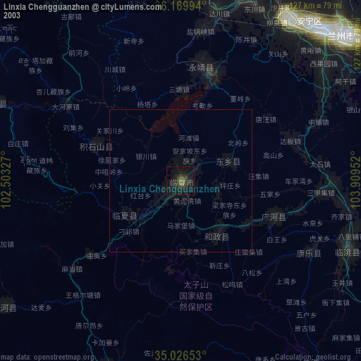
» NASA city lights 2003
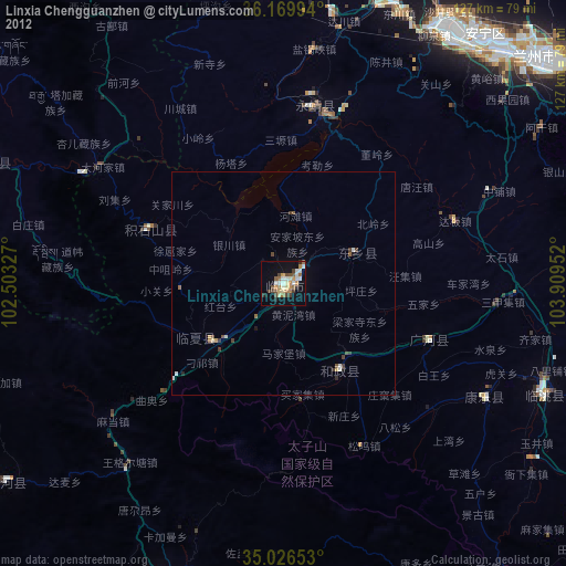
» Earth at Night: Flat Maps 2012, 2016