Beidao night lights from space
Night Light of Beidao (Gansu) from space (China) Src. Average luminocity for 10x10km area is 35.1329% and for 50x50km: 4.7243%.
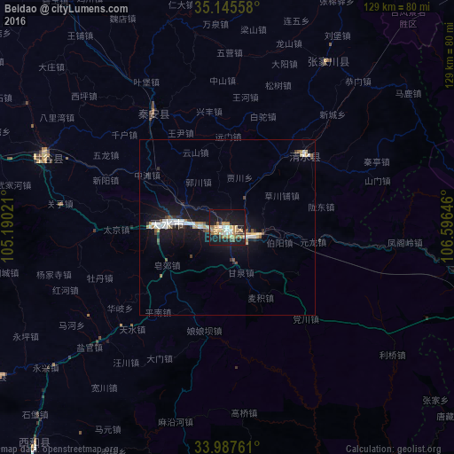
Analysis of Beidao night lights 2016
Square area 10x10 km:
 4.02%
4.02%90-99
4.2%80-89
4.2%70-79
9.44%60-69
7.52%50-59
2.62%40-49
1.57%30-39
2.27%20-29
3.15%10-19
46.68%0-9
14.34%Square area 50x50 km:
0.64%90-99
0.8%80-89
0.46%70-79
0.71%60-69
0.5%50-59
0.39%40-49
0.34%30-39
0.43%20-29
0.59%10-19
6.17%0-9
88.98%Clear (daylight) street map image can be seen on geolist.org.
Map coordinates:
35° 8' 44.1" North, 105° 11' 24.8" East
34° 34' 7" North, 105° 53' 36" East
33° 59' 15.4" North, 106° 35' 47.3" East
Some cities around Beidao sort by population:
• Tianshui
13.9 km =8.6 mi,  275°
275°
• Lanzhou
249.2 km =154.8 mi,  311°
311°
• Guangyuan
236.5 km =147 mi,  181°
181°
• Hanzhong
196.1 km =121.9 mi,  147°
147°
• Pingliang
129.8 km =80.7 mi,  33°
33°
• Guozhen
136.2 km =84.6 mi,  99°
99°
• Yuxia
257.5 km =160 mi, 102°
• Mawu
91.1 km =56.6 mi,  259°
259°
1816751 (p: 74,767)
Sources (retrieved 2019-11-25):
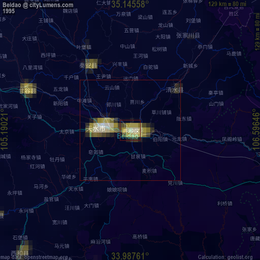
» NASA, Earths city lights 1995
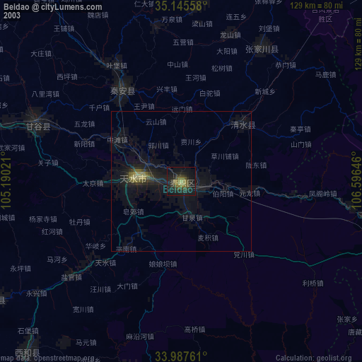
» NASA city lights 2003
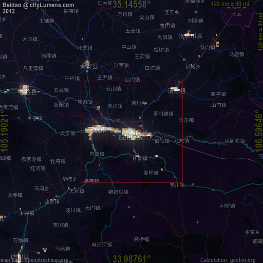
» Earth at Night: Flat Maps 2012, 2016