Tangping night lights from space
Night Light of Tangping (Guangdong) from space (China) Src. Average luminocity for 10x10km area is 1.6726% and for 50x50km: 12.0023%.
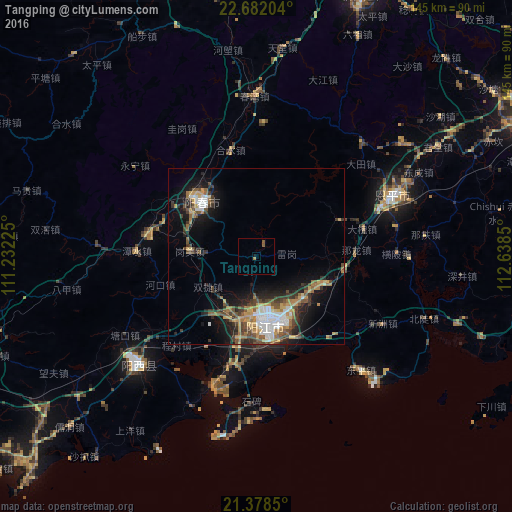
Analysis of Tangping night lights 2016
Square area 10x10 km:
 0%
0%90-99
0%80-89
0%70-79
0.2%60-69
0.6%50-59
1.59%40-49
0%30-39
0%20-29
0%10-19
0.79%0-9
96.83%Square area 50x50 km:
1.65%90-99
1.58%80-89
1.08%70-79
1.85%60-69
2%50-59
1.76%40-49
2.05%30-39
2.65%20-29
2.57%10-19
7.39%0-9
75.42%Clear (daylight) street map image can be seen on geolist.org.
Map coordinates:
22° 40' 55.3" North, 111° 13' 56.1" East
22° 1' 54.4" North, 111° 56' 7.3" East
21° 22' 42.6" North, 112° 38' 18.6" East
Some cities around Tangping sort by population:
• Yunfu
100.3 km =62.3 mi,  6°
6°
• Yangjiang
19.8 km =12.3 mi,  171°
171°
• Xinhui
123.9 km =77 mi,  67°
67°
• Gaozhou
112.8 km =70.1 mi,  264°
264°
• Yangchun
21.7 km =13.5 mi,  313°
313°
• Taishan
90.3 km =56.1 mi, 74°
• Encheng
41.7 km =25.9 mi, 65°
• Xinyi
108.5 km =67.4 mi,  290°
290°
1793364 (p: 81,729)
Sources (retrieved 2019-11-25):
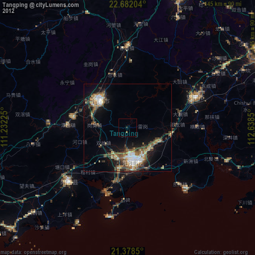
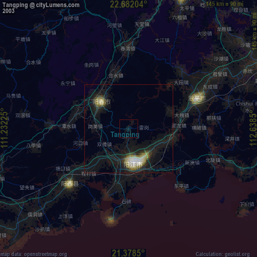
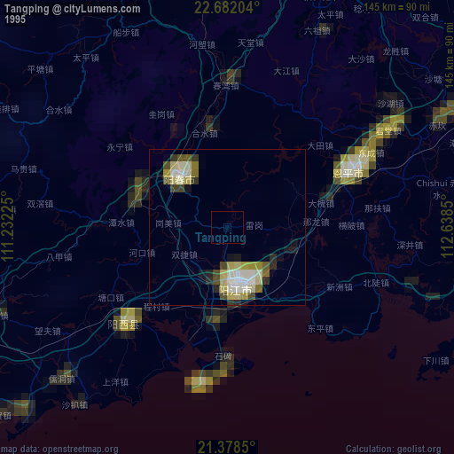
» NASA, Earths city lights 1995
» NASA city lights 2003
» Earth at Night: Flat Maps 2012, 2016