Xinyi night lights from space
Night Light of Xinyi (Guangdong) from space (China) Src. Average luminocity for 10x10km area is 26.267% and for 50x50km: 2.2882%.
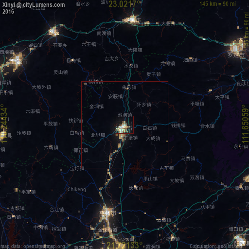
Analysis of Xinyi night lights 2016
Square area 10x10 km:
 2.08%
2.08%90-99
4.36%80-89
6.06%70-79
3.03%60-69
3.41%50-59
4.92%40-49
3.03%30-39
3.03%20-29
1.7%10-19
22.35%0-9
46.02%Square area 50x50 km:
0.09%90-99
0.23%80-89
0.39%70-79
0.36%60-69
0.34%50-59
0.46%40-49
0.2%30-39
0.39%20-29
0.39%10-19
1.95%0-9
95.2%Clear (daylight) street map image can be seen on geolist.org.
Map coordinates:
23° 1' 18.1" North, 110° 14' 39.6" East
22° 22' 22.9" North, 110° 56' 50.9" East
21° 43' 16.8" North, 111° 39' 2.1" East
Some cities around Xinyi sort by population:
• Gaozhou
49.4 km =30.7 mi,  192°
192°
• Yangchun
89 km =55.3 mi,  104°
104°
• Yulin
86.9 km =54 mi,  289°
289°
• Wuchuan
103.5 km =64.3 mi, 190°
• Huazhou
90.4 km =56.2 mi,  204°
204°
• Nandu
54.8 km =34.1 mi,  346°
346°
• Jinji
95.9 km =59.6 mi, 352°
• Lingcheng
71.8 km =44.6 mi,  301°
301°
1812057 (p: 98,259)
Sources (retrieved 2019-11-25):
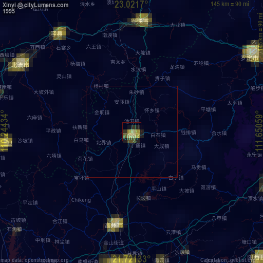
» NASA, Earths city lights 1995
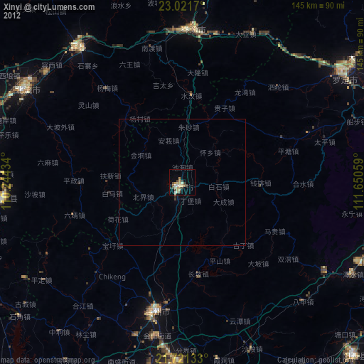
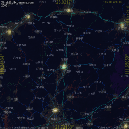
» NASA city lights 2003
» Earth at Night: Flat Maps 2012, 2016