Shengli night lights from space
Night Light of Shengli (Shandong) from space (China) Src. Average luminocity for 10x10km area is 77.7679% and for 50x50km: 22.8389%.
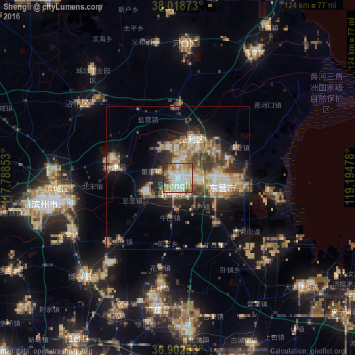


Analysis of Shengli night lights 2016
Square area 10x10 km:
 17.21%
90-99
20.62%80-89
16.56%70-79
15.26%60-69
9.42%50-59
9.09%40-49
4.55%30-39
5.19%20-29
2.11%10-19
0%0-9
0%Square area 50x50 km:
2.34%90-99
3.21%80-89
4.42%70-79
3.3%60-69
4.02%50-59
3.51%40-49
3.06%30-39
4.85%20-29
5.01%10-19
10.15%0-9
56.13%Clear (daylight) street map image can be seen on geolist.org.
Map coordinates:
38° 1' 7.4" North, 117° 47' 18.7" East
37° 27' 45.8" North, 118° 29' 29.9" East
36° 54' 9.1" North, 119° 11' 41.2" East
Some cities around Shengli sort by population:
• Zibo
83.8 km =52.1 mi,  206°
206°
• Zhoucun
93.5 km =58.1 mi,  219°
219°
• Qingzhou
85.2 km =52.9 mi,  180°
180°
• Binzhou
43.3 km =26.9 mi,  255°
255°
• Nanding
88.3 km =54.9 mi, 205°
• Xindian
76 km =47.2 mi,  193°
193°
• Shouguang
68.4 km =42.5 mi,  161°
161°
• Suozhen
66.1 km =41.1 mi, 211°
1812101 (p: 306,450)
Sources (retrieved 2019-11-25):
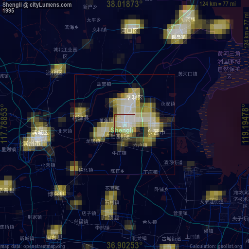
» NASA, Earths city lights 1995
» NASA city lights 2003
» Earth at Night: Flat Maps 2012, 2016