Shouguang night lights from space
Night Light of Shouguang (Shandong) from space (China) Src. Average luminocity for 10x10km area is 55.6266% and for 50x50km: 20.7272%.
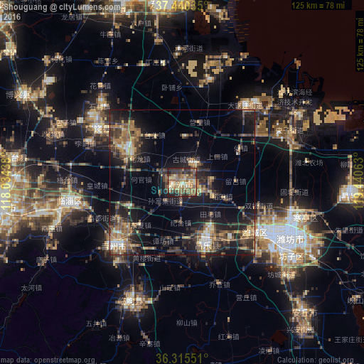
Analysis of Shouguang night lights 2016
Square area 10x10 km:
 0.65%
0.65%90-99
3.57%80-89
14.61%70-79
10.88%60-69
16.88%50-59
15.1%40-49
9.42%30-39
11.69%20-29
11.53%10-19
5.68%0-9
0%Square area 50x50 km:
0.95%90-99
1.37%80-89
3.06%70-79
2.83%60-69
4.16%50-59
3.66%40-49
4.12%30-39
6.18%20-29
7.14%10-19
14.3%0-9
52.23%Clear (daylight) street map image can be seen on geolist.org.
Map coordinates:
37° 26' 25.3" North, 118° 2' 3.8" East
36° 52' 48" North, 118° 44' 15" East
36° 18' 55.8" North, 119° 26' 26.3" East
Some cities around Shouguang sort by population:
• Zibo
60.8 km =37.8 mi,  260°
260°
• Weifang
37.6 km =23.4 mi,  120°
120°
• Qingzhou
30.7 km =19.1 mi,  228°
228°
• Hanting
43.8 km =27.2 mi,  106°
106°
• Nanding
62.4 km =38.8 mi, 256°
• Xindian
40.5 km =25.2 mi, 256°
• Linqu
44.2 km =27.5 mi,  203°
203°
• Suozhen
56.8 km =35.3 mi,  278°
278°
1794794 (p: 79,212)
Sources (retrieved 2019-11-25):
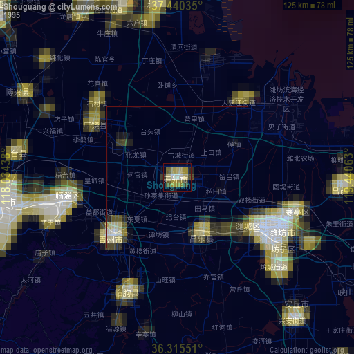
» NASA, Earths city lights 1995
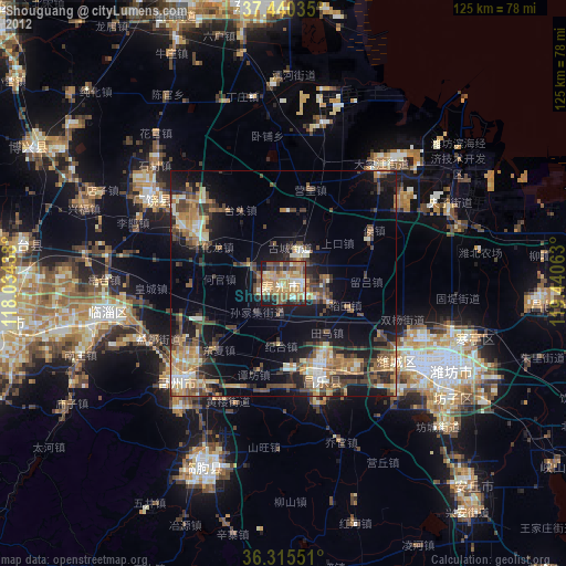
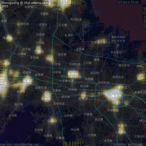
» NASA city lights 2003
» Earth at Night: Flat Maps 2012, 2016