Binzhou night lights from space
Night Light of Binzhou (Shandong) from space (China) Src. Average luminocity for 10x10km area is 72.0081% and for 50x50km: 17.3327%.
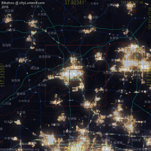
Analysis of Binzhou night lights 2016
Square area 10x10 km:
 21.43%
90-99
20.45%80-89
7.47%70-79
9.09%60-69
7.63%50-59
5.52%40-49
7.79%30-39
9.42%20-29
11.2%10-19
0%0-9
0%Square area 50x50 km:
1.65%90-99
2.08%80-89
3.69%70-79
2.68%60-69
2.63%50-59
1.91%40-49
1.92%30-39
3.06%20-29
4.53%10-19
11.73%0-9
64.11%Clear (daylight) street map image can be seen on geolist.org.
Map coordinates:
37° 55' 24.3" North, 117° 18' 48.8" East
37° 22' 0" North, 118° 1' 0" East
36° 48' 20.8" North, 118° 43' 11.3" East
Some cities around Binzhou sort by population:
• Zibo
64.2 km =39.9 mi,  176°
176°
• Shengli
43.3 km =26.9 mi,  75°
75°
• Zhoucun
63.7 km =39.6 mi,  196°
196°
• Qingzhou
85.1 km =52.9 mi,  151°
151°
• Nanding
68.8 km =42.8 mi, 177°
• Xindian
67.9 km =42.2 mi,  158°
158°
• Shouguang
83.7 km =52 mi,  130°
130°
• Suozhen
46.6 km =29 mi,  170°
170°
1816336 (p: 115,893)
Sources (retrieved 2019-11-25):
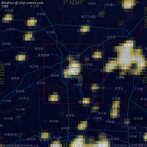
» NASA, Earths city lights 1995
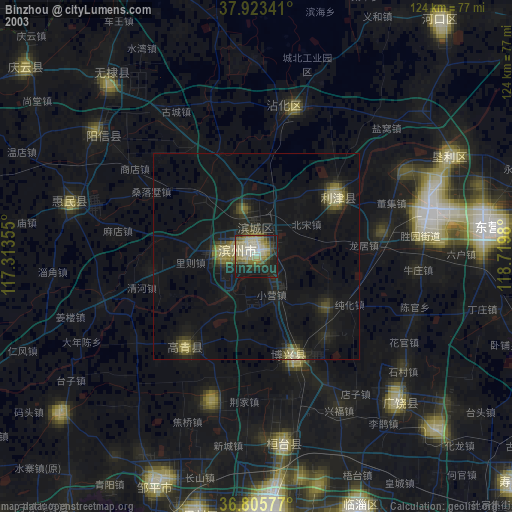
» NASA city lights 2003
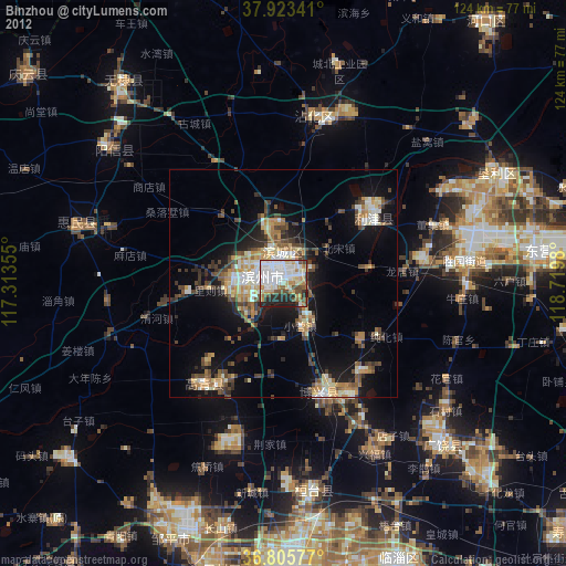
» Earth at Night: Flat Maps 2012, 2016