Shantou night lights from space
Night Light of Shantou (Guangdong) from space (China) Src. Average luminocity for 10x10km area is 91.1705% and for 50x50km: 38.2116%.
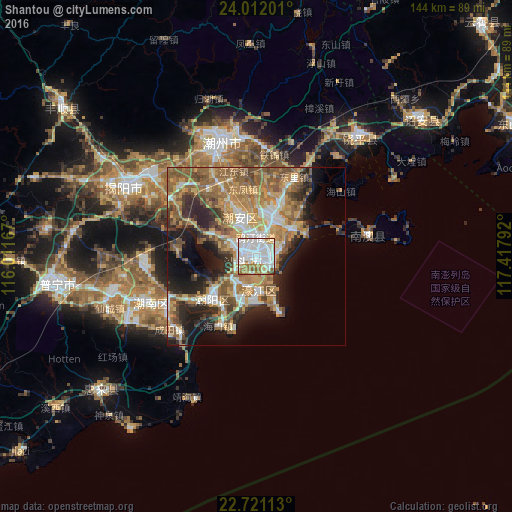
Analysis of Shantou night lights 2016
Square area 10x10 km:
 49.05%
90-99
23.11%80-89
7.39%70-79
5.87%60-69
10.8%50-59
2.65%40-49
0.76%30-39
0.38%20-29
0%10-19
0%0-9
0%Square area 50x50 km:
5.6%90-99
5.47%80-89
3.88%70-79
7.9%60-69
8.47%50-59
8.61%40-49
5.48%30-39
4.5%20-29
8.14%10-19
10.15%0-9
31.8%Clear (daylight) street map image can be seen on geolist.org.
Map coordinates:
24° 0' 43.2" North, 116° 0' 42" East
23° 22' 5.3" North, 116° 42' 53.2" East
22° 43' 16.1" North, 117° 25' 4.5" East
Some cities around Shantou sort by population:
• Jieyang
40.5 km =25.2 mi,  298°
298°
• Chaozhou
33.1 km =20.6 mi,  343°
343°
• Huanggang
45 km =28 mi,  40°
40°
• Anbu
9.6 km =6 mi, 338°
• Chenghua
11.8 km =7.3 mi,  28°
28°
• Huicheng
56.8 km =35.3 mi,  229°
229°
• Haimen
22.1 km =13.7 mi,  208°
208°
• Puning
56.1 km =34.9 mi,  263°
263°
1795940 (p: 5,329,024)
Sources (retrieved 2019-11-25):
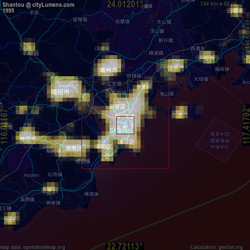
» NASA, Earths city lights 1995
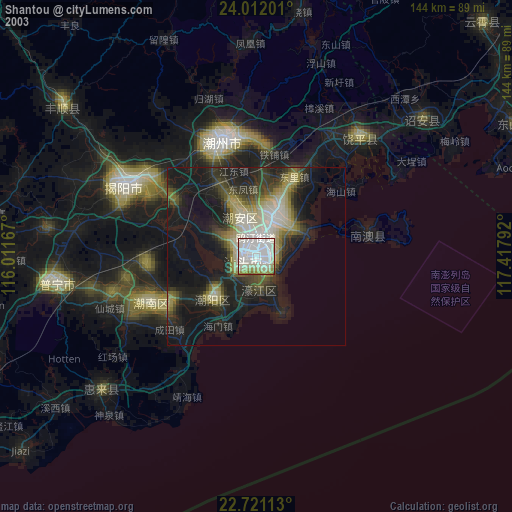
» NASA city lights 2003
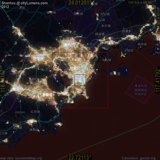
» Earth at Night: Flat Maps 2012, 2016