Anbu night lights from space
Night Light of Anbu (Guangdong) from space (China) Src. Average luminocity for 10x10km area is 86.0701% and for 50x50km: 46.387%.
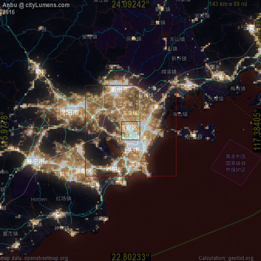
Analysis of Anbu night lights 2016
Square area 10x10 km:
 21.78%
90-99
26.14%80-89
14.58%70-79
25.57%60-69
8.33%50-59
3.03%40-49
0.57%30-39
0%20-29
0%10-19
0%0-9
0%Square area 50x50 km:
6.53%90-99
6.57%80-89
4.61%70-79
9.38%60-69
11.24%50-59
10.84%40-49
7.47%30-39
4.92%20-29
9.49%10-19
12.18%0-9
16.78%Clear (daylight) street map image can be seen on geolist.org.
Map coordinates:
24° 5' 32.7" North, 115° 58' 40.1" East
23° 26' 56.2" North, 116° 40' 51.3" East
22° 48' 8.4" North, 117° 23' 2.6" East
Some cities around Anbu sort by population:
• Shantou
9.6 km =6 mi,  158°
158°
• Jieyang
33.7 km =20.9 mi,  287°
287°
• Chaozhou
23.6 km =14.7 mi,  345°
345°
• Huanggang
41.2 km =25.6 mi,  52°
52°
• Chenghua
9.2 km =5.7 mi,  81°
81°
• Huicheng
60.7 km =37.7 mi,  221°
221°
• Haimen
29.3 km =18.2 mi,  193°
193°
• Puning
54.5 km =33.9 mi,  253°
253°
1818116 (p: 162,964)
Sources (retrieved 2019-11-25):
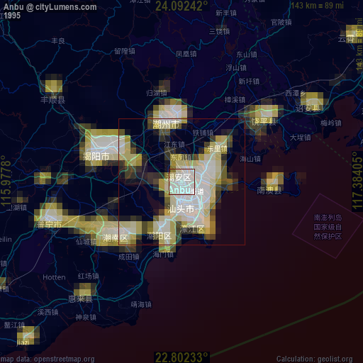
» NASA, Earths city lights 1995
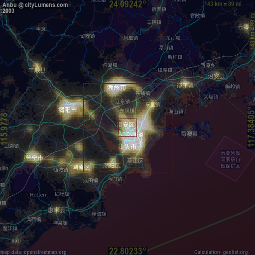
» NASA city lights 2003
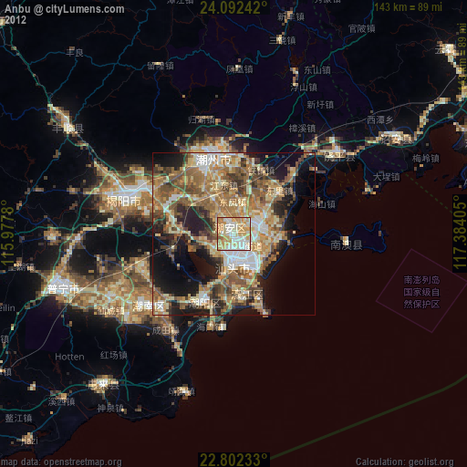
» Earth at Night: Flat Maps 2012, 2016