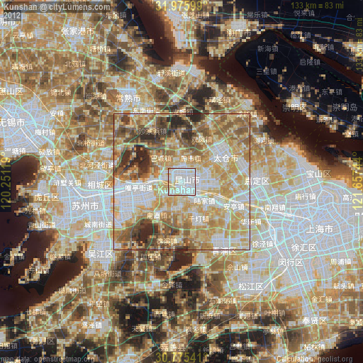
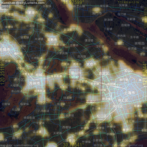
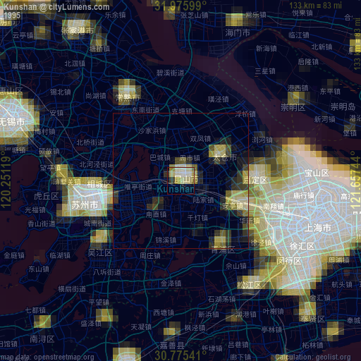
Kunshan night lights from space
Night Light of Kunshan (Jiangsu) from space (China) Src. Average luminocity for 10x10km area is 97.6818% and for 50x50km: 74.3768%.
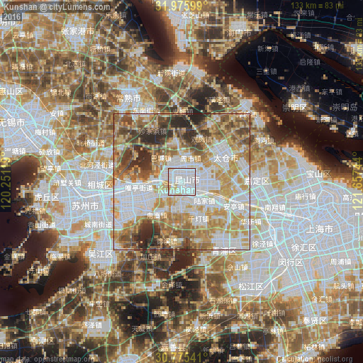
Analysis of Kunshan night lights 2016
Square area 10x10 km:
 61.54%
90-99
28.85%80-89
6.47%70-79
3.15%60-69
0%50-59
0%40-49
0%30-39
0%20-29
0%10-19
0%0-9
0%Square area 50x50 km:
21.73%90-99
15.83%80-89
10.91%70-79
12.74%60-69
11.24%50-59
9.05%40-49
6.62%30-39
4.89%20-29
6.64%10-19
0.35%0-9
0%Clear (daylight) street map image can be seen on geolist.org.
Map coordinates:
31° 58' 33.6" North, 120° 15' 4.3" East
31° 22' 39.4" North, 120° 57' 15.5" East
30° 46' 31.5" North, 121° 39' 26.8" East
Some cities around Kunshan sort by population:
• Suzhou
35.1 km =21.8 mi,  256°
256°
• Changshu City
36 km =22.4 mi,  326°
326°
• Zhabei
49.8 km =30.9 mi,  105°
105°
• Songjiang
45.3 km =28.1 mi,  146°
146°
• Songling
30.4 km =18.9 mi,  227°
227°
• Mudu
43.5 km =27 mi,  251°
251°
• Zhujiajiao
31.6 km =19.6 mi,  161°
161°
• Zhouzhuang
30.7 km =19.1 mi,  199°
199°
1785623 (p: 1,600,000)
Sources (retrieved 2019-11-25):
» NASA, Earths city lights 1995
» NASA city lights 2003
» Earth at Night: Flat Maps 2012, 2016