Meizhou night lights from space
Night Light of Meizhou (Guangdong) from space (China) Src. Average luminocity for 10x10km area is 71.0814% and for 50x50km: 5.5851%.
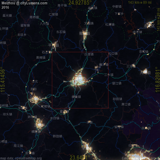
Analysis of Meizhou night lights 2016
Square area 10x10 km:
 17.8%
17.8%90-99
20.64%80-89
10.98%70-79
8.9%60-69
8.14%50-59
8.9%40-49
7.2%30-39
3.98%20-29
9.47%10-19
3.98%0-9
0%Square area 50x50 km:
0.81%90-99
0.9%80-89
0.6%70-79
0.67%60-69
0.6%50-59
1.04%40-49
0.83%30-39
0.93%20-29
1.45%10-19
3.78%0-9
88.39%Clear (daylight) street map image can be seen on geolist.org.
Map coordinates:
24° 55' 40.3" North, 115° 24' 52.4" East
24° 17' 18.9" North, 116° 7' 3.6" East
23° 38' 46" North, 116° 49' 14.9" East
Some cities around Meizhou sort by population:
• Shantou
119 km =73.9 mi,  149°
149°
• Jieyang
86.8 km =53.9 mi,  163°
163°
• Chaozhou
87.2 km =54.2 mi,  143°
143°
• Huanggang
112.5 km =69.9 mi,  127°
127°
• Anbu
109.5 km =68 mi, 148°
• Chenghua
113.4 km =70.5 mi, 144°
• Hepo
99.8 km =62 mi,  197°
197°
• Puning
108.9 km =67.7 mi,  177°
177°
1800779 (p: 144,212)
Sources (retrieved 2019-11-25):
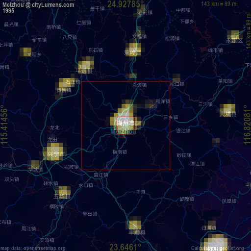
» NASA, Earths city lights 1995
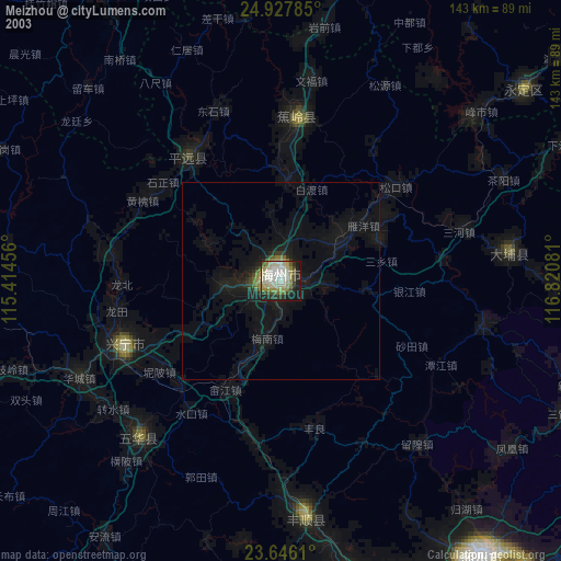
» NASA city lights 2003
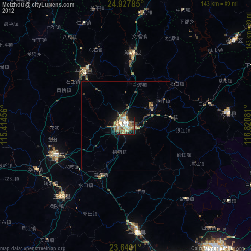
» Earth at Night: Flat Maps 2012, 2016