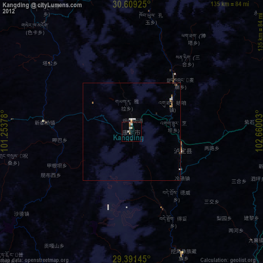
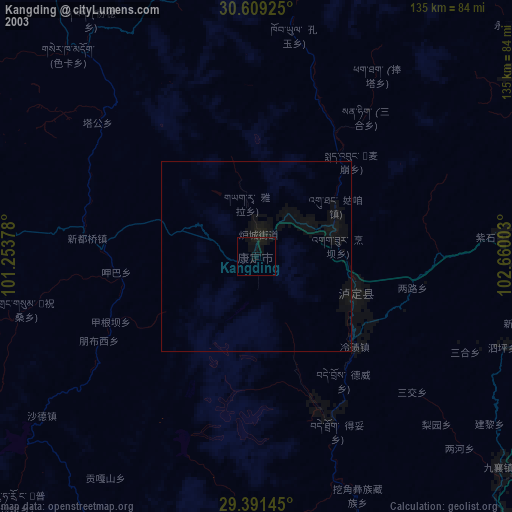
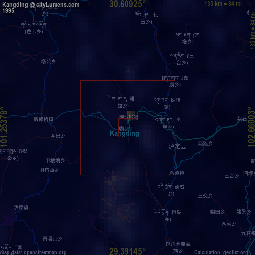
Kangding night lights from space
Night Light of Kangding (Sichuan) from space (China) Src. Average luminocity for 10x10km area is 4.447% and for 50x50km: 0.4918%.
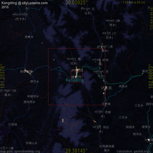
Analysis of Kangding night lights 2016
Square area 10x10 km:
 0%
0%90-99
0%80-89
0%70-79
0%60-69
0%50-59
3.79%40-49
3.03%30-39
0.76%20-29
0%10-19
0%0-9
92.42%Square area 50x50 km:
0.04%90-99
0.02%80-89
0%70-79
0%60-69
0%50-59
0.18%40-49
0.45%30-39
0.1%20-29
0.09%10-19
0.04%0-9
99.07%Clear (daylight) street map image can be seen on geolist.org.
Map coordinates:
30° 36' 33.3" North, 101° 15' 13.6" East
30° 0' 8" North, 101° 57' 24.8" East
29° 23' 29.2" North, 102° 39' 36.1" East
Some cities around Kangding sort by population:
• Chengdu
215.5 km =133.9 mi,  69°
69°
• Leshan
181.1 km =112.5 mi,  105°
105°
• Deyang
263.9 km =164 mi,  61°
61°
• Xichang
236 km =146.6 mi,  172°
172°
• Yanjiang
259.3 km =161.1 mi,  87°
87°
• Luocheng
211.5 km =131.4 mi, 108°
• Tianpeng
219.2 km =136.2 mi, 60°
• Linqiong
151.7 km =94.3 mi, 72°
1802171 (p: 100,000)
Sources (retrieved 2019-11-25):
» NASA, Earths city lights 1995
» NASA city lights 2003
» Earth at Night: Flat Maps 2012, 2016