Leshan night lights from space
Night Light of Leshan (Sichuan) from space (China) Src. Average luminocity for 10x10km area is 47.6515% and for 50x50km: 9.2079%.
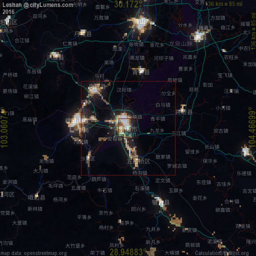
Analysis of Leshan night lights 2016
Square area 10x10 km:
 10.23%
90-99
8.33%80-89
7.39%70-79
4.55%60-69
6.06%50-59
7.2%40-49
10.8%30-39
0.95%20-29
12.12%10-19
21.02%0-9
11.36%Square area 50x50 km:
0.97%90-99
1.09%80-89
0.66%70-79
0.76%60-69
1.31%50-59
1.72%40-49
3.65%30-39
0.31%20-29
1.61%10-19
8.86%0-9
79.04%Clear (daylight) street map image can be seen on geolist.org.
Map coordinates:
30° 10' 19.2" North, 103° 3' 38.7" East
29° 33' 44.2" North, 103° 45' 49.9" East
28° 56' 55.8" North, 104° 28' 1.2" East
Some cities around Leshan sort by population:
• Chengdu
126.2 km =78.4 mi,  13°
13°
• Zigong
101.1 km =62.8 mi,  104°
104°
• Neijiang
125.6 km =78 mi,  88°
88°
• Yibin
121.6 km =75.6 mi,  136°
136°
• Yanjiang
105.5 km =65.6 mi,  53°
53°
• Luocheng
32.3 km =20.1 mi,  127°
127°
• Chonglong
107.9 km =67 mi,  76°
76°
• Linqiong
99.3 km =61.7 mi,  342°
342°
1804153 (p: 154,477)
Sources (retrieved 2019-11-25):
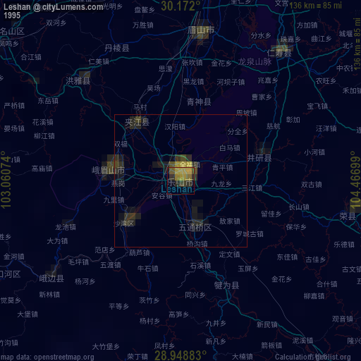
» NASA, Earths city lights 1995
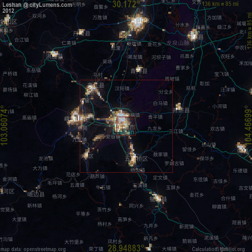
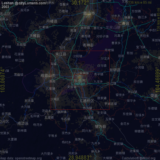
» NASA city lights 2003
» Earth at Night: Flat Maps 2012, 2016