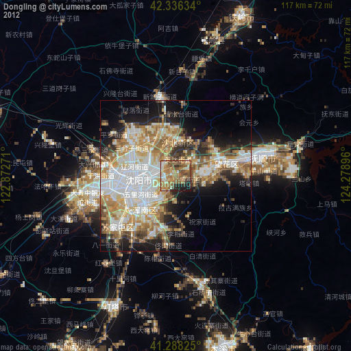
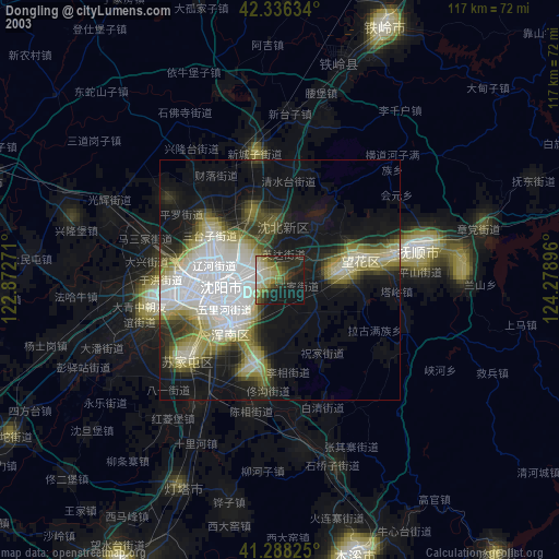
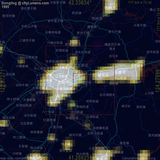
Dongling night lights from space
Night Light of Dongling (Liaoning) from space (China) Src. Average luminocity for 10x10km area is 69.7561% and for 50x50km: 45.1401%.
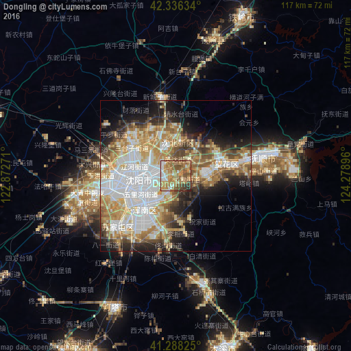
Analysis of Dongling night lights 2016
Square area 10x10 km:
 9.55%
9.55%90-99
11.21%80-89
7.58%70-79
19.85%60-69
20.45%50-59
19.09%40-49
6.36%30-39
4.7%20-29
1.21%10-19
0%0-9
0%Square area 50x50 km:
11.82%90-99
8.95%80-89
6.41%70-79
6.82%60-69
6.58%50-59
5.82%40-49
4.65%30-39
4.44%20-29
6.14%10-19
8.57%0-9
29.81%Clear (daylight) street map image can be seen on geolist.org.
Map coordinates:
42° 20' 10.8" North, 122° 52' 21.8" East
41° 48' 52" North, 123° 34' 33" East
41° 17' 17.7" North, 124° 16' 44.3" East
Some cities around Dongling sort by population:
• Shenyang
12.1 km =7.5 mi,  258°
258°
• Fushun
31.5 km =19.6 mi,  75°
75°
• Benxi
60.5 km =37.6 mi,  164°
164°
• Liaoyang
69 km =42.9 mi,  209°
209°
• Tieling
57.6 km =35.8 mi,  22°
22°
• Sujiatun
26.1 km =16.2 mi,  228°
228°
• Xinmin
65.1 km =40.5 mi,  287°
287°
• Hushitai
15.4 km =9.6 mi,  336°
336°
2037620 (p: 171,454)
Sources (retrieved 2019-11-25):
» NASA, Earths city lights 1995
» NASA city lights 2003
» Earth at Night: Flat Maps 2012, 2016