Huilong night lights from space
Night Light of Huilong (Jiangsu) from space (China) Src. Average luminocity for 10x10km area is 53.8608% and for 50x50km: 10.6292%.
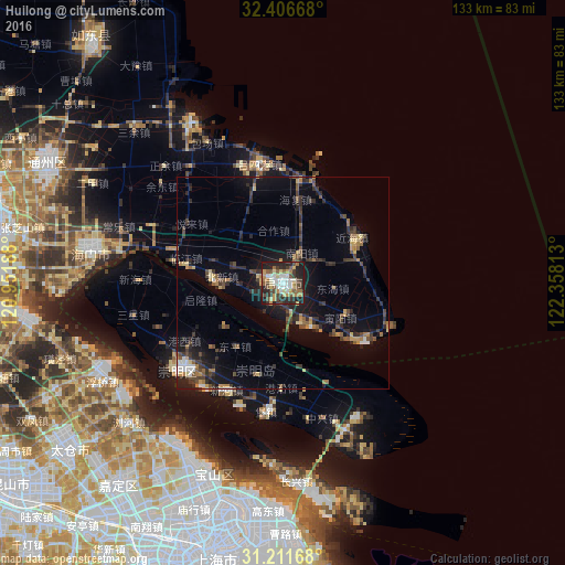
Analysis of Huilong night lights 2016
Square area 10x10 km:
 10.26%
90-99
9.34%80-89
7.14%70-79
7.69%60-69
7.69%50-59
7.88%40-49
9.34%30-39
9.16%20-29
18.5%10-19
13%0-9
0%Square area 50x50 km:
0.83%90-99
0.77%80-89
1.08%70-79
1.33%60-69
1.39%50-59
1.46%40-49
2.13%30-39
2.49%20-29
4.29%10-19
7.04%0-9
77.2%Clear (daylight) street map image can be seen on geolist.org.
Map coordinates:
32° 24' 24" North, 120° 57' 6.8" East
31° 48' 40" North, 121° 39' 18" East
31° 12' 42" North, 122° 21' 29.3" East
Some cities around Huilong sort by population:
• Shanghai
68.1 km =42.3 mi,  195°
195°
• Kunshan
82 km =51 mi,  234°
234°
• Changshu City
88.3 km =54.9 mi,  258°
258°
• Zhabei
64.2 km =39.9 mi, 196°
• Nantong
77.6 km =48.2 mi,  288°
288°
• Songjiang
95.8 km =59.5 mi,  205°
205°
• Jinsha
63 km =39.1 mi,  299°
299°
• Juegang
71.6 km =44.5 mi,  321°
321°
1806840 (p: 74,818)
Sources (retrieved 2019-11-25):
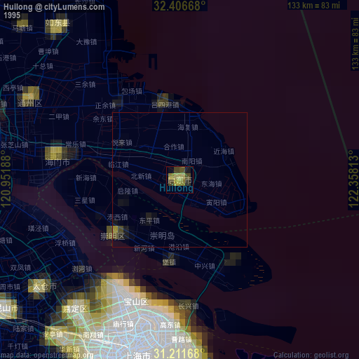
» NASA, Earths city lights 1995
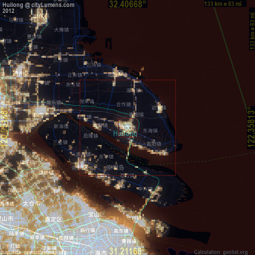
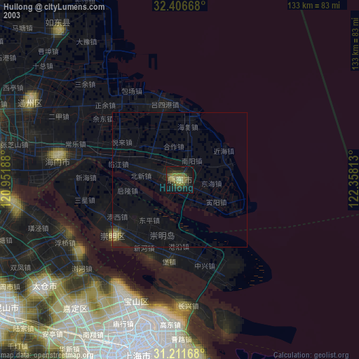
» NASA city lights 2003
» Earth at Night: Flat Maps 2012, 2016