Shanghai night lights from space
Night Light of Shanghai from space (China) Src. Average luminocity for 10x10km area is 100% and for 50x50km: 91.0796%.
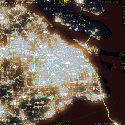
Analysis of Shanghai night lights 2016
Square area 10x10 km:
 100%
100%90-99
0%80-89
0%70-79
0%60-69
0%50-59
0%40-49
0%30-39
0%20-29
0%10-19
0%0-9
0%Square area 50x50 km:
53.08%90-99
22.21%80-89
7.23%70-79
5.89%60-69
5.09%50-59
2.38%40-49
1.16%30-39
0.75%20-29
1.1%10-19
1.07%0-9
0.04%Clear (daylight) street map image can be seen on geolist.org.
Map coordinates:
31° 49' 17.7" North, 120° 45' 17.8" East
31° 13' 20" North, 121° 27' 29" East
30° 37' 8.5" North, 122° 9' 40.3" East
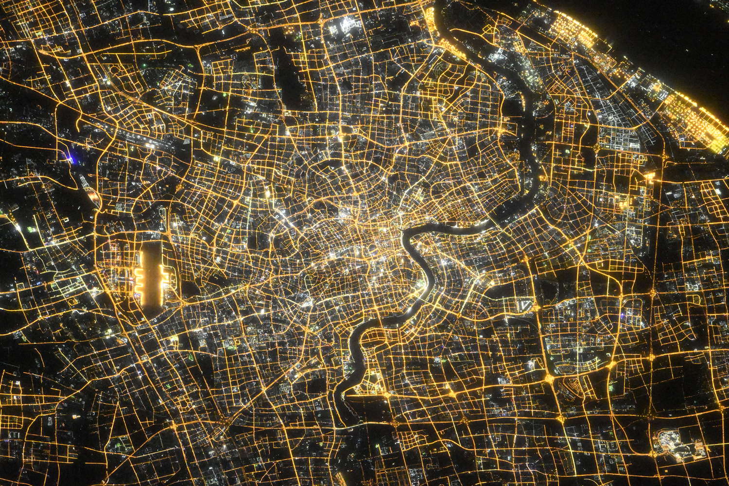
Fantastic image of Shanghai from space taken by astronauts [src2], but I don't have information about it's orientation, scale or angle. If necessary, it was rotated manually, so North points approximately to upper direction. Click to zoom in:
Some cities around Shanghai sort by population:
• Kunshan
50.9 km =31.6 mi,  289°
289°
• Zhabei
4 km =2.5 mi,  2°
2°
• Jiashan
65.5 km =40.7 mi,  230°
230°
• Songjiang
31.1 km =19.3 mi, 228°
• Songling
70.5 km =43.8 mi,  267°
267°
• Huilong
68.1 km =42.3 mi,  15°
15°
• Zhujiajiao
40.2 km =25 mi,  251°
251°
• Zhouzhuang
59.5 km =37 mi,  258°
258°
1796236 (p: 22,315,474)
Sources (retrieved 2019-11-25):
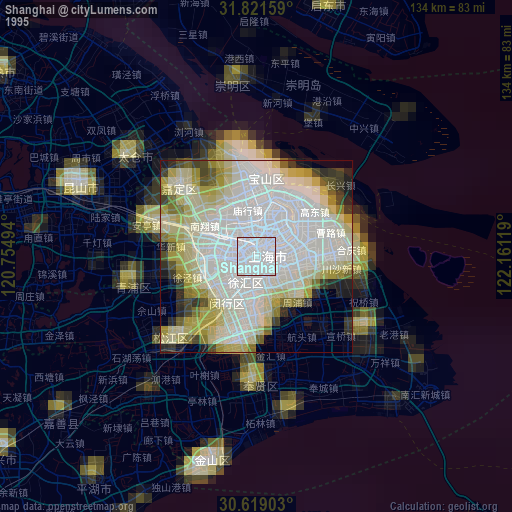
» NASA, Earths city lights 1995
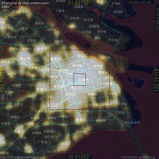
» NASA city lights 2003
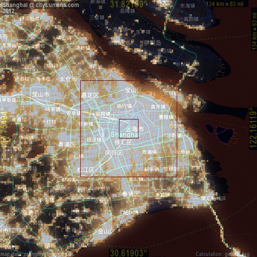
» Earth at Night: Flat Maps 2012, 2016
Src.2: picture by Oleg Kononenko,ĀRoscosmos, retrieved 2019-11-29