Huangnihe night lights from space
Night Light of Huangnihe (Jilin) from space (China) Src. Average luminocity for 10x10km area is 0.546% and for 50x50km: 1.594%.
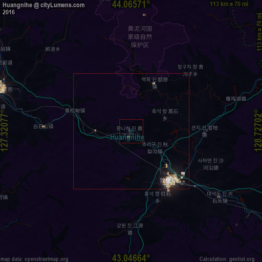
Analysis of Huangnihe night lights 2016
Square area 10x10 km:
 0%
0%90-99
0%80-89
0%70-79
0%60-69
0%50-59
0%40-49
0%30-39
0.16%20-29
1.75%10-19
0%0-9
98.1%Square area 50x50 km:
0.09%90-99
0.3%80-89
0.29%70-79
0.27%60-69
0.24%50-59
0.1%40-49
0.15%30-39
0.21%20-29
0.27%10-19
1.55%0-9
96.53%Clear (daylight) street map image can be seen on geolist.org.
Map coordinates:
44° 3' 56.6" North, 127° 19' 14.8" East
43° 33' 30" North, 128° 1' 26" East
43° 2' 47.9" North, 128° 43' 37.3" East
Some cities around Huangnihe sort by population:
• Jilin
122.1 km =75.9 mi,  285°
285°
• Dunhua
27.2 km =16.9 mi,  139°
139°
• Huadian
122.7 km =76.2 mi,  237°
237°
• Minzhu
58.4 km =36.3 mi, 288°
• Shulan
128.4 km =79.8 mi,  318°
318°
• Dashitou
48.3 km =30 mi,  125°
125°
• Mingyue
88.3 km =54.9 mi,  124°
124°
• Baishishan
36.9 km =22.9 mi,  274°
274°
2036734 (p: 54,959)
Sources (retrieved 2019-11-25):
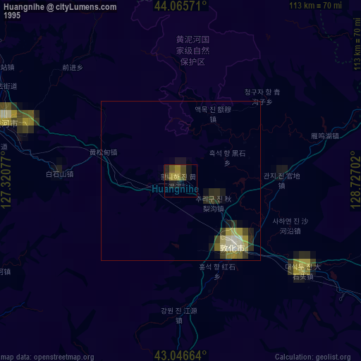
» NASA, Earths city lights 1995
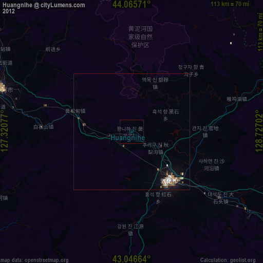
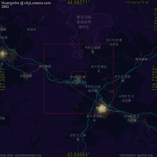
» NASA city lights 2003
» Earth at Night: Flat Maps 2012, 2016