Mingyue night lights from space
Night Light of Mingyue (Jilin) from space (China) Src. Average luminocity for 10x10km area is 11.7682% and for 50x50km: 0.5074%.
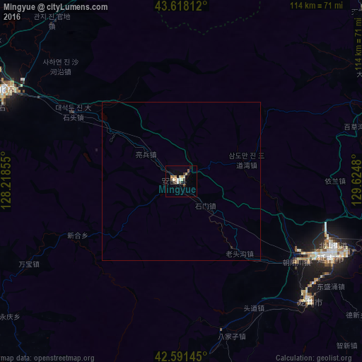
Analysis of Mingyue night lights 2016
Square area 10x10 km:
 0.61%
0.61%90-99
2.42%80-89
1.67%70-79
2.58%60-69
0.3%50-59
2.12%40-49
1.21%30-39
1.21%20-29
1.52%10-19
1.21%0-9
85.15%Square area 50x50 km:
0.03%90-99
0.1%80-89
0.07%70-79
0.11%60-69
0.01%50-59
0.09%40-49
0.05%30-39
0.05%20-29
0.09%10-19
0.05%0-9
99.36%Clear (daylight) street map image can be seen on geolist.org.
Map coordinates:
43° 37' 5.2" North, 128° 13' 6.8" East
43° 6' 25" North, 128° 55' 18" East
42° 35' 29.2" North, 129° 37' 29.3" East
Some cities around Mingyue sort by population:
• Yanji
52.6 km =32.7 mi,  114°
114°
• Dunhua
62.4 km =38.8 mi,  298°
298°
• Longjing
55.3 km =34.4 mi,  132°
132°
• Wangqing
72.3 km =44.9 mi,  70°
70°
• Helong
63.4 km =39.4 mi,  174°
174°
• Tumen
76.5 km =47.5 mi,  101°
101°
• Dashitou
40 km =24.9 mi, 303°
• Namyang, KP
78.1 km =48.5 mi, 102°
2035754 (p: 58,872)
Sources (retrieved 2019-11-25):
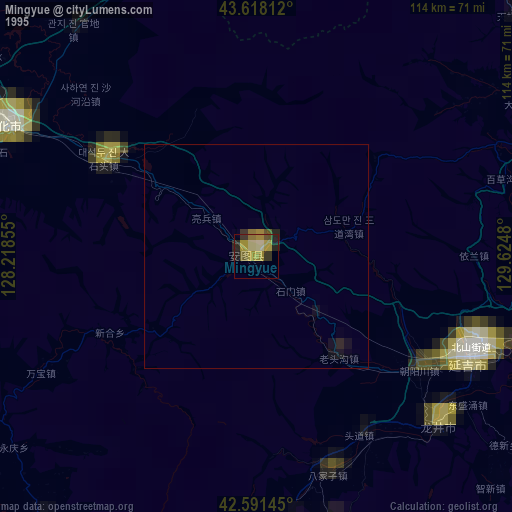
» NASA, Earths city lights 1995
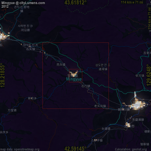
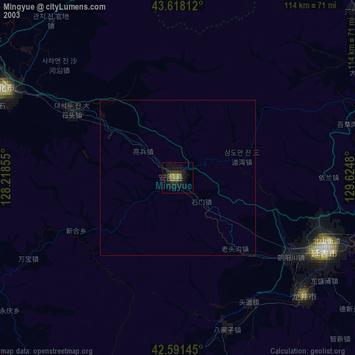
» NASA city lights 2003
» Earth at Night: Flat Maps 2012, 2016