Dunhua night lights from space
Night Light of Dunhua (Jilin) from space (China) Src. Average luminocity for 10x10km area is 34.9413% and for 50x50km: 1.7768%.
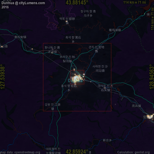
Analysis of Dunhua night lights 2016
Square area 10x10 km:
 2.38%
2.38%90-99
6.51%80-89
7.62%70-79
6.19%60-69
5.4%50-59
1.9%40-49
3.33%30-39
4.6%20-29
4.92%10-19
38.73%0-9
18.41%Square area 50x50 km:
0.09%90-99
0.31%80-89
0.3%70-79
0.28%60-69
0.22%50-59
0.08%40-49
0.17%30-39
0.25%20-29
0.38%10-19
1.93%0-9
95.99%Clear (daylight) street map image can be seen on geolist.org.
Map coordinates:
43° 52' 53.2" North, 127° 32' 21.8" East
43° 22' 21" North, 128° 14' 33" East
42° 51' 33.3" North, 128° 56' 44.3" East
Some cities around Dunhua sort by population:
• Yanji
114.9 km =71.4 mi,  116°
116°
• Minzhu
82.9 km =51.5 mi,  297°
297°
• Longjing
116.9 km =72.6 mi, 124°
• Helong
111.1 km =69 mi,  146°
146°
• Dashitou
22.9 km =14.2 mi,  108°
108°
• Mingyue
62.4 km =38.8 mi, 118°
• Baishishan
59.4 km =36.9 mi,  293°
293°
• Huangnihe
27.2 km =16.9 mi,  319°
319°
2037534 (p: 148,844)
Sources (retrieved 2019-11-25):
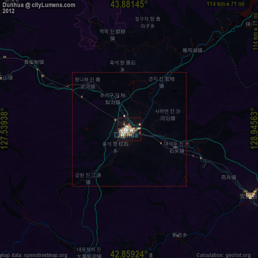
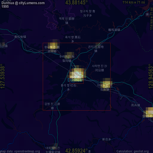
» NASA, Earths city lights 1995
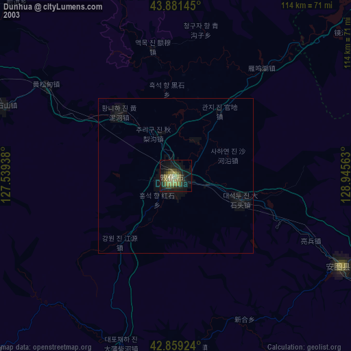
» NASA city lights 2003
» Earth at Night: Flat Maps 2012, 2016