Hengyang night lights from space
Night Light of Hengyang (Hunan) from space (China) Src. Average luminocity for 10x10km area is 65.9425% and for 50x50km: 8.0107%.
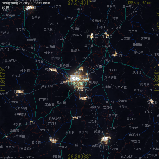
Analysis of Hengyang night lights 2016
Square area 10x10 km:
 9.92%
9.92%90-99
14.29%80-89
10.12%70-79
6.15%60-69
13.29%50-59
21.23%40-49
10.52%30-39
9.33%20-29
4.96%10-19
0.2%0-9
0%Square area 50x50 km:
0.67%90-99
1.1%80-89
0.9%70-79
0.64%60-69
1.49%50-59
1.98%40-49
1.72%30-39
1.62%20-29
1.77%10-19
4.6%0-9
83.5%Clear (daylight) street map image can be seen on geolist.org.
Map coordinates:
27° 30' 53.3" North, 111° 54' 56.7" East
26° 53' 22.1" North, 112° 37' 8" East
26° 15' 38.3" North, 113° 19' 19.2" East
Some cities around Hengyang sort by population:
• Xiangtan
110.4 km =68.6 mi,  14°
14°
• Loudi
112.4 km =69.8 mi,  326°
326°
• Leiyang
59.2 km =36.8 mi,  156°
156°
• Xiangxiang
94.2 km =58.5 mi,  354°
354°
• Yongfeng
73.8 km =45.9 mi,  324°
324°
• Wuxi
82.7 km =51.4 mi,  245°
245°
• Hongqiao
52.4 km =32.6 mi,  255°
255°
• Bojia
79.9 km =49.6 mi,  234°
234°
1808370 (p: 759,602)
Sources (retrieved 2019-11-25):
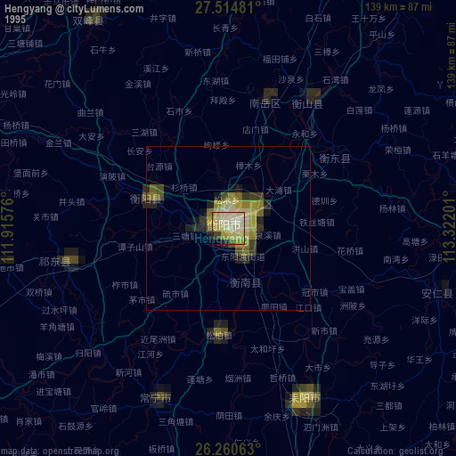
» NASA, Earths city lights 1995
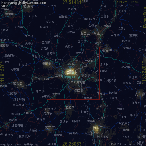
» NASA city lights 2003
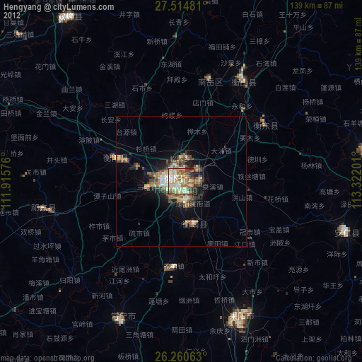
» Earth at Night: Flat Maps 2012, 2016