Laojunmiao night lights from space
Night Light of Laojunmiao (Gansu) from space (China) Src. Average luminocity for 10x10km area is 0% and for 50x50km: 0.8792%.
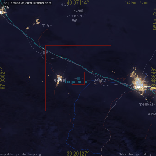
Analysis of Laojunmiao night lights 2016
Square area 10x10 km:
 0%
0%90-99
0%80-89
0%70-79
0%60-69
0%50-59
0%40-49
0%30-39
0%20-29
0%10-19
0%0-9
100%Square area 50x50 km:
0.07%90-99
0.15%80-89
0.03%70-79
0.13%60-69
0.22%50-59
0.07%40-49
0.07%30-39
0.19%20-29
0.17%10-19
0.35%0-9
98.55%Clear (daylight) street map image can be seen on geolist.org.
Map coordinates:
40° 22' 16.1" North, 97° 1' 48.8" East
39° 49' 60" North, 97° 43' 60" East
39° 17' 28.6" North, 98° 26' 11.3" East
Some cities around Laojunmiao sort by population:
• Xining
500.6 km =311.1 mi,  135°
135°
• Wuwei
474 km =294.5 mi,  116°
116°
• Jinchang
412 km =256 mi,  111°
111°
• Hami
485.5 km =301.7 mi,  313°
313°
• Jiayuguan
47.3 km =29.4 mi,  92°
92°
• Zhangye
254.1 km =157.9 mi, 113°
• Jiuquan
67.7 km =42.1 mi,  98°
98°
• Hovd, MN
650.1 km =404 mi,  34°
34°
1280757 (p: 84,769)
Sources (retrieved 2019-11-25):
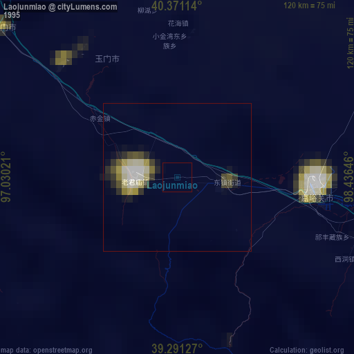
» NASA, Earths city lights 1995
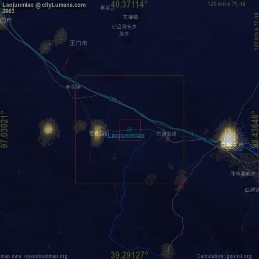
» NASA city lights 2003
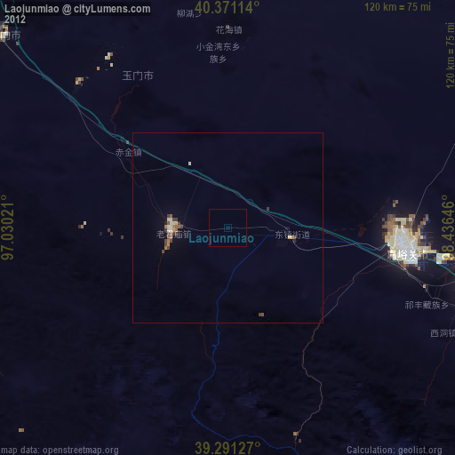
» Earth at Night: Flat Maps 2012, 2016