Chengzihe night lights from space
Night Light of Chengzihe (Heilongjiang) from space (China) Src. Average luminocity for 10x10km area is 6.3889% and for 50x50km: 2.8027%.
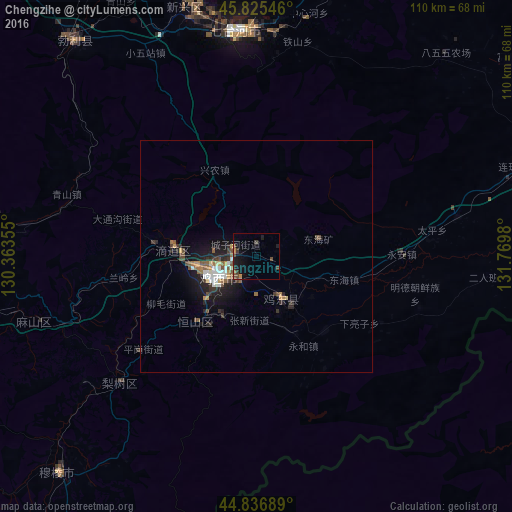
Analysis of Chengzihe night lights 2016
Square area 10x10 km:
 0%
0%90-99
0%80-89
0%70-79
0.95%60-69
0.95%50-59
0%40-49
3.65%30-39
2.06%20-29
0.63%10-19
7.46%0-9
84.29%Square area 50x50 km:
0.3%90-99
0.42%80-89
0.13%70-79
0.36%60-69
0.29%50-59
0.47%40-49
0.55%30-39
0.49%20-29
0.87%10-19
2.41%0-9
93.71%Clear (daylight) street map image can be seen on geolist.org.
Map coordinates:
45° 49' 31.7" North, 130° 21' 48.8" East
45° 19' 60" North, 131° 4' 0" East
44° 50' 12.8" North, 131° 46' 11.3" East
Some cities around Chengzihe sort by population:
• Jixi
9.3 km =5.8 mi,  247°
247°
• Taihecun
50.7 km =31.5 mi,  340°
340°
• Fendou
18.6 km =11.6 mi,  223°
223°
• Dongxing
22.1 km =13.7 mi,  277°
277°
• Boli
60.5 km =37.6 mi,  320°
320°
• Linkou
63.2 km =39.3 mi,  265°
265°
• Bamiantong
63.1 km =39.2 mi, 222°
• Jidong
13 km =8.1 mi,  174°
174°
2038080 (p: 98,188)
Sources (retrieved 2019-11-25):
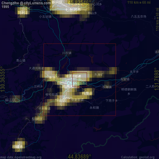
» NASA, Earths city lights 1995
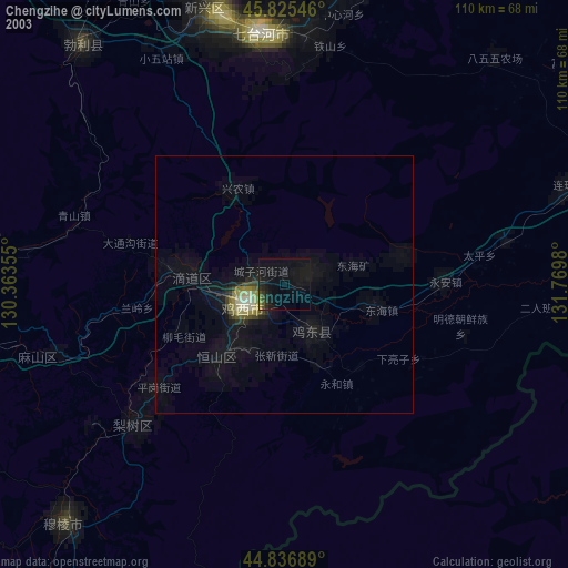
» NASA city lights 2003
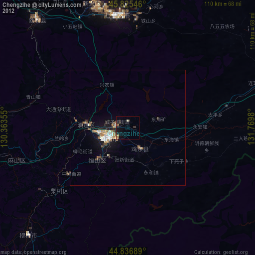
» Earth at Night: Flat Maps 2012, 2016