Helong night lights from space
Night Light of Helong (Jilin) from space (China) Src. Average luminocity for 10x10km area is 11.8683% and for 50x50km: 0.5068%.


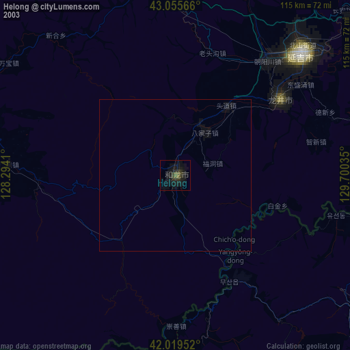
Analysis of Helong night lights 2016
Square area 10x10 km:
 1.59%
1.59%90-99
2.22%80-89
0.63%70-79
0.95%60-69
2.54%50-59
1.43%40-49
0.79%30-39
3.65%20-29
0.79%10-19
1.43%0-9
83.97%Square area 50x50 km:
0.06%90-99
0.09%80-89
0.03%70-79
0.04%60-69
0.1%50-59
0.08%40-49
0.03%30-39
0.14%20-29
0.03%10-19
0.08%0-9
99.32%Clear (daylight) street map image can be seen on geolist.org.
Map coordinates:
43° 3' 20.4" North, 128° 17' 38.8" East
42° 32' 23.1" North, 128° 59' 50" East
42° 1' 10.3" North, 129° 42' 1.3" East
Some cities around Helong sort by population:
• Yanji
58.4 km =36.3 mi,  45°
45°
• Longjing
43.3 km =26.9 mi, 53°
• Tumen
83.7 km =52 mi,  55°
55°
• Mingyue
63.4 km =39.4 mi,  354°
354°
• Hoeryŏng, KP
62.4 km =38.8 mi,  100°
100°
• Musan-ŭp, KP
38.9 km =24.2 mi,  153°
153°
• Puryŏng, KP
79.3 km =49.3 mi,  132°
132°
• Komusan Il-tong, KP
75 km =46.6 mi, 129°
2036933 (p: 85,756)
Sources (retrieved 2019-11-25):
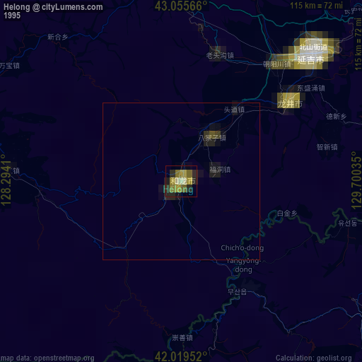
» NASA, Earths city lights 1995
» NASA city lights 2003
» Earth at Night: Flat Maps 2012, 2016