Danjiangkou night lights from space
Night Light of Danjiangkou (Hubei) from space (China) Src. Average luminocity for 10x10km area is 40.2436% and for 50x50km: 2.8548%.
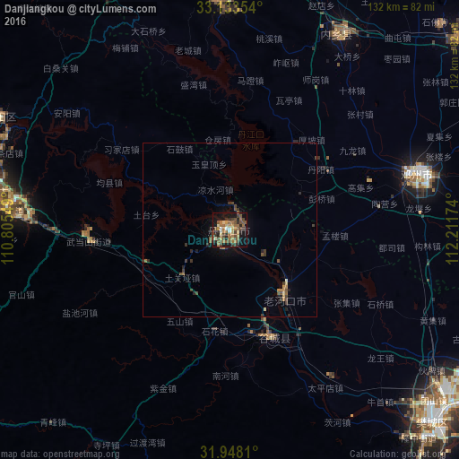
Analysis of Danjiangkou night lights 2016
Square area 10x10 km:
 1.1%
1.1%90-99
3.48%80-89
4.76%70-79
6.59%60-69
12.82%50-59
9.89%40-49
10.26%30-39
6.41%20-29
8.42%10-19
27.47%0-9
8.79%Square area 50x50 km:
0.04%90-99
0.15%80-89
0.29%70-79
0.41%60-69
0.68%50-59
0.62%40-49
0.67%30-39
0.72%20-29
0.62%10-19
1.7%0-9
94.1%Clear (daylight) street map image can be seen on geolist.org.
Map coordinates:
33° 8' 0.7" North, 110° 48' 19.8" East
32° 32' 34" North, 111° 30' 31" East
31° 56' 53.2" North, 112° 12' 42.3" East
Some cities around Danjiangkou sort by population:
• Shiyan
69.4 km =43.1 mi,  279°
279°
• Xiangyang
81.7 km =50.8 mi,  132°
132°
• Laohekou
23 km =14.3 mi,  139°
139°
• Nanyang
108.1 km =67.2 mi,  62°
62°
• Nanzhang Chengguanzhen
89.6 km =55.7 mi,  160°
160°
• Gucheng Chengguanzhen
33 km =20.5 mi, 158°
• Hancheng
79.1 km =49.2 mi,  91°
91°
• Huazhou
55.9 km =34.7 mi,  73°
73°
1813828 (p: 92,008)
Sources (retrieved 2019-11-25):
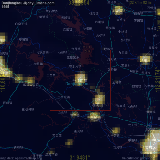
» NASA, Earths city lights 1995
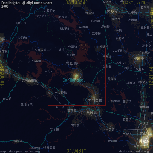
» NASA city lights 2003
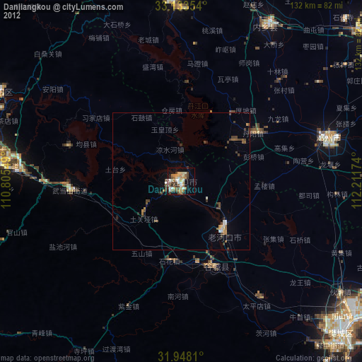
» Earth at Night: Flat Maps 2012, 2016