Laohekou night lights from space
Night Light of Laohekou (Hubei) from space (China) Src. Average luminocity for 10x10km area is 11.2564% and for 50x50km: 3.2956%.
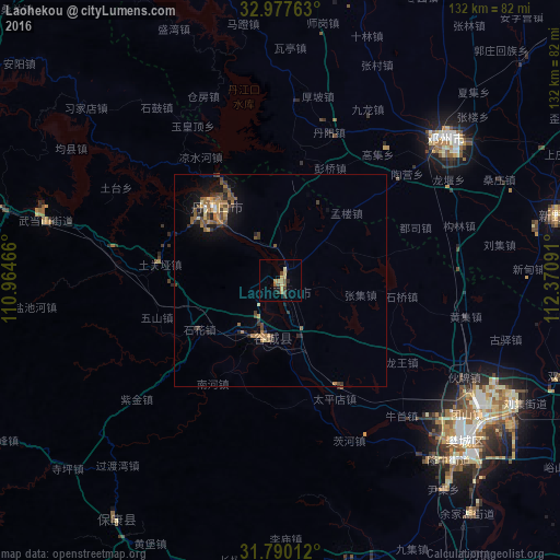
Analysis of Laohekou night lights 2016
Square area 10x10 km:
 0%
0%90-99
0.18%80-89
2.01%70-79
3.11%60-69
2.01%50-59
1.65%40-49
2.75%30-39
2.2%20-29
1.47%10-19
0.73%0-9
83.88%Square area 50x50 km:
0.04%90-99
0.15%80-89
0.32%70-79
0.54%60-69
0.85%50-59
0.68%40-49
0.77%30-39
0.76%20-29
0.66%10-19
1.81%0-9
93.41%Clear (daylight) street map image can be seen on geolist.org.
Map coordinates:
32° 58' 39.5" North, 110° 57' 52.8" East
32° 23' 9" North, 111° 40' 4" East
31° 47' 24.4" North, 112° 22' 15.3" East
Some cities around Laohekou sort by population:
• Shiyan
88.3 km =54.9 mi,  289°
289°
• Xiangyang
58.9 km =36.6 mi,  130°
130°
• Danjiangkou
23 km =14.3 mi,  319°
319°
• Nanzhang Chengguanzhen
68.6 km =42.6 mi,  167°
167°
• Gucheng Chengguanzhen
13.7 km =8.5 mi,  193°
193°
• Hancheng
65.9 km =40.9 mi,  77°
77°
• Yicheng
93.9 km =58.3 mi,  143°
143°
• Huazhou
50.9 km =31.6 mi,  49°
49°
1804386 (p: 253,112)
Sources (retrieved 2019-11-25):
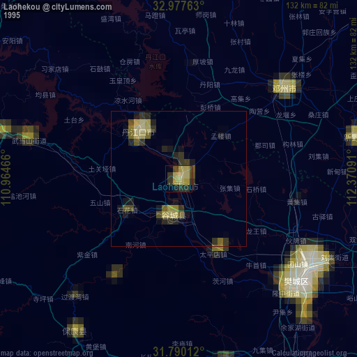
» NASA, Earths city lights 1995
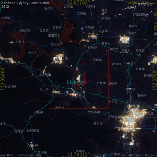
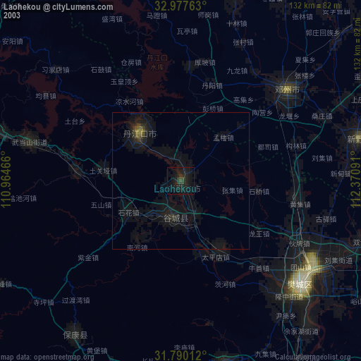
» NASA city lights 2003
» Earth at Night: Flat Maps 2012, 2016