Binhe night lights from space
Night Light of Binhe (Henan) from space (China) Src. Average luminocity for 10x10km area is 32.0332% and for 50x50km: 2.7255%.
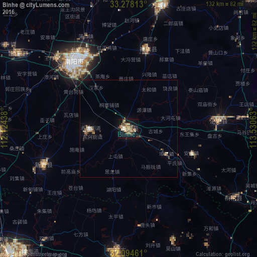
Analysis of Binhe night lights 2016
Square area 10x10 km:
 1.05%
1.05%90-99
2.8%80-89
6.29%70-79
4.55%60-69
7.69%50-59
6.64%40-49
7.34%30-39
4.9%20-29
2.97%10-19
30.24%0-9
25.52%Square area 50x50 km:
0.11%90-99
0.27%80-89
0.39%70-79
0.27%60-69
0.56%50-59
0.46%40-49
0.46%30-39
0.56%20-29
0.34%10-19
1.95%0-9
94.63%Clear (daylight) street map image can be seen on geolist.org.
Map coordinates:
33° 16' 41.3" North, 112° 7' 27.8" East
32° 41' 18" North, 112° 49' 39" East
32° 5' 40.6" North, 113° 31' 50.3" East
Some cities around Binhe sort by population:
• Zhumadian
116.9 km =72.6 mi,  73°
73°
• Xiangyang
96.3 km =59.8 mi,  221°
221°
• Laohekou
113.8 km =70.7 mi,  252°
252°
• Nanyang
43.8 km =27.2 mi,  321°
321°
• Zaoyang
62.8 km =39 mi,  186°
186°
• Yunyang
85.1 km =52.9 mi,  352°
352°
• Hancheng
48.4 km =30.1 mi, 247°
• Huazhou
69.8 km =43.4 mi,  269°
269°
1793419 (p: 68,514)
Sources (retrieved 2019-11-25):
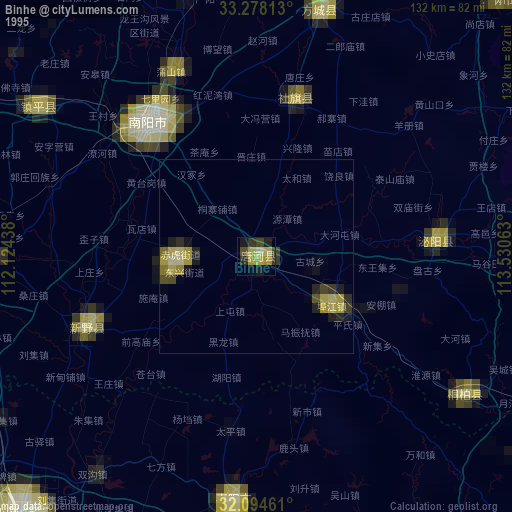
» NASA, Earths city lights 1995
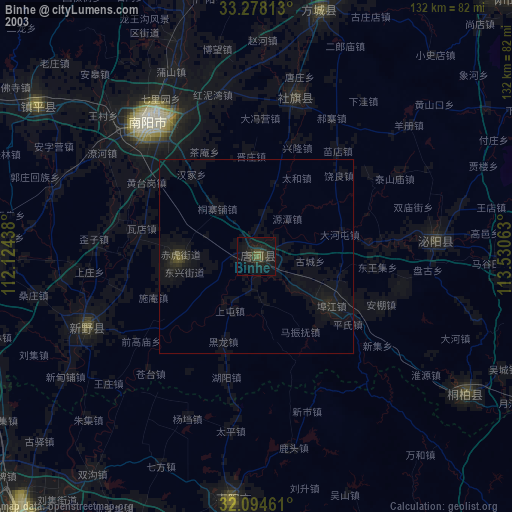
» NASA city lights 2003
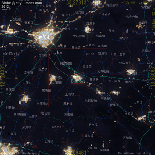
» Earth at Night: Flat Maps 2012, 2016