Zaoyang night lights from space
Night Light of Zaoyang (Hubei) from space (China) Src. Average luminocity for 10x10km area is 31.0367% and for 50x50km: 1.7455%.
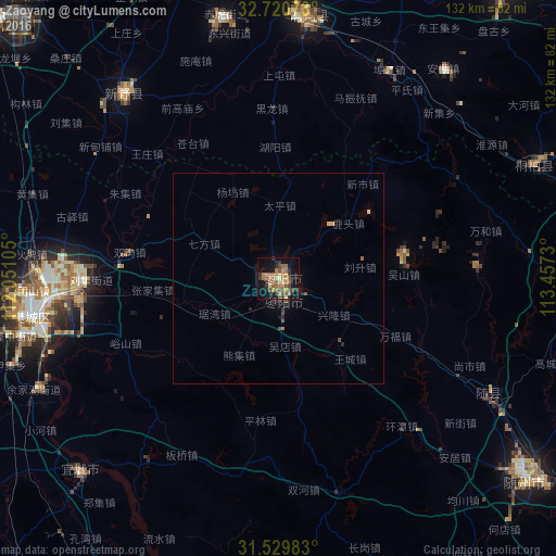

Analysis of Zaoyang night lights 2016
Square area 10x10 km:
 0%
0%90-99
1.92%80-89
1.92%70-79
7.34%60-69
11.36%50-59
7.34%40-49
6.82%30-39
5.24%20-29
4.02%10-19
25.35%0-9
28.67%Square area 50x50 km:
0%90-99
0.08%80-89
0.11%70-79
0.36%60-69
0.5%50-59
0.39%40-49
0.4%30-39
0.26%20-29
0.37%10-19
1.28%0-9
96.25%Clear (daylight) street map image can be seen on geolist.org.
Map coordinates:
32° 43' 14.6" North, 112° 3' 3.8" East
32° 7' 38" North, 112° 45' 15" East
31° 31' 47.4" North, 113° 27' 26.3" East
Some cities around Zaoyang sort by population:
• Xiangyang
58.2 km =36.2 mi,  260°
260°
• Suizhou
73.8 km =45.9 mi,  128°
128°
• Xihe
83.2 km =51.7 mi, 126°
• Nanzhang Chengguanzhen
95.4 km =59.3 mi,  246°
246°
• Binhe
62.8 km =39 mi,  6°
6°
• Hancheng
57.6 km =35.8 mi,  319°
319°
• Yicheng
66.5 km =41.3 mi,  225°
225°
• Huazhou
88.3 km =54.9 mi,  314°
314°
1785462 (p: 184,509)
Sources (retrieved 2019-11-25):
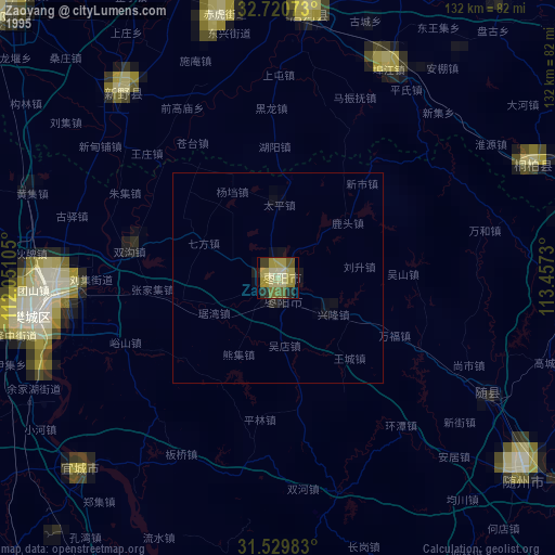
» NASA, Earths city lights 1995
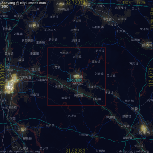
» NASA city lights 2003
» Earth at Night: Flat Maps 2012, 2016