Fuxin night lights from space
Night Light of Fuxin (Liaoning) from space (China) Src. Average luminocity for 10x10km area is 68.1159% and for 50x50km: 5.2705%.
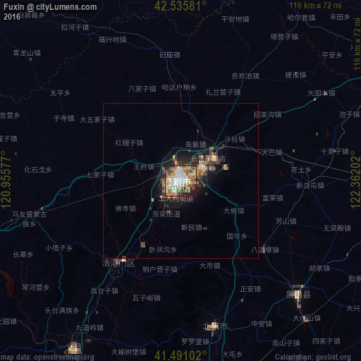
Analysis of Fuxin night lights 2016
Square area 10x10 km:
 13.02%
90-99
14.44%80-89
10.16%70-79
12.22%60-69
15.87%50-59
8.57%40-49
9.21%30-39
6.35%20-29
5.87%10-19
4.29%0-9
0%Square area 50x50 km:
0.53%90-99
0.62%80-89
0.57%70-79
0.77%60-69
1.12%50-59
0.63%40-49
1%30-39
1.05%20-29
1.46%10-19
3.64%0-9
88.61%Clear (daylight) street map image can be seen on geolist.org.
Map coordinates:
42° 32' 8.9" North, 120° 57' 20.8" East
42° 0' 56" North, 121° 39' 32" East
41° 29' 27.7" North, 122° 21' 43.3" East
Some cities around Fuxin sort by population:
• Panshan
97.6 km =60.6 mi,  160°
160°
• Jinzhou
109.7 km =68.2 mi,  203°
203°
• Chaoyang
111.1 km =69 mi,  243°
243°
• Beipiao
76.9 km =47.8 mi,  251°
251°
• Xinmin
96.4 km =59.9 mi,  91°
91°
• Heishan
52.3 km =32.5 mi,  133°
133°
• Linghai
97.6 km =60.6 mi,  194°
194°
• Liaozhong
105 km =65.2 mi,  122°
122°
2037346 (p: 689,050)
Sources (retrieved 2019-11-25):
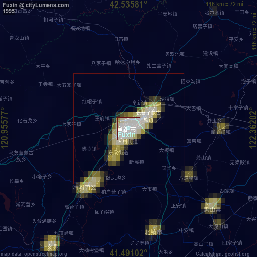
» NASA, Earths city lights 1995
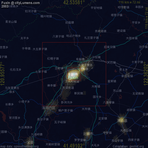
» NASA city lights 2003
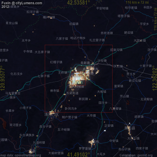
» Earth at Night: Flat Maps 2012, 2016