Lebu night lights from space
Night Light of Lebu (Biobío) from space (Chile) Src. Average luminocity for 10x10km area is 8.2976% and for 50x50km: 1.1792%.
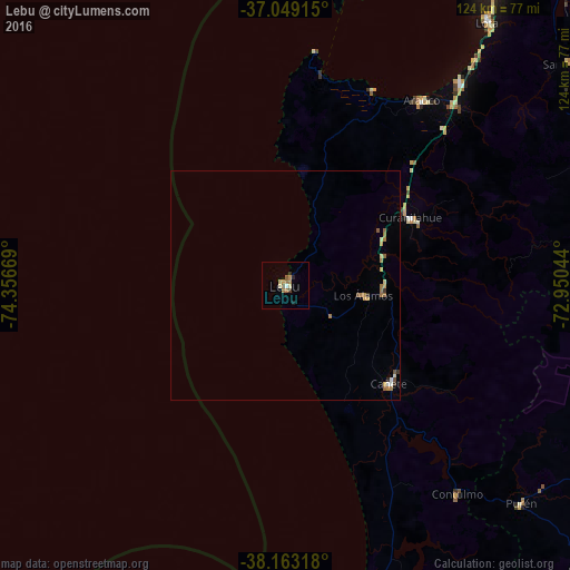
Analysis of Lebu night lights 2016
Square area 10x10 km:
100  0.51%
0.51%
90-99 0.34%
80-89 1.87%
70-79 1.36%
60-69 2.55%
50-59 1.53%
40-49 0.17%
30-39 1.02%
20-29 0.85%
10-19 0.68%
0-9 89.12%
0.51%90-99
0.34%80-89
1.87%70-79
1.36%60-69
2.55%50-59
1.53%40-49
0.17%30-39
1.02%20-29
0.85%10-19
0.68%0-9
89.12%Square area 50x50 km:
100 0.06%
90-99 0.08%
80-89 0.2%
70-79 0.23%
60-69 0.37%
50-59 0.21%
40-49 0.08%
30-39 0.15%
20-29 0.06%
10-19 0.03%
0-9 98.54%
0.06%90-99
0.08%80-89
0.2%70-79
0.23%60-69
0.37%50-59
0.21%40-49
0.08%30-39
0.15%20-29
0.06%10-19
0.03%0-9
98.54%Clear (daylight) street map image can be seen on geolist.org.
Map coordinates:
37° 2' 56.9" South, 74° 21' 24.1" West
37° 36' 29.7" South, 73° 39' 12.8" West
38° 9' 47.4" South, 72° 57' 1.6" West
Some cities around Lebu sort by population:
• Coronel
78.4 km =48.7 mi,  35°
35°
• Lota
72.4 km =45 mi, 37°
• Angol
85 km =52.8 mi,  104°
104°
• Curanilahue
30.8 km =19.1 mi,  61°
61°
• Arauco
50 km =31.1 mi, 36°
• Nacimiento
87.2 km =54.2 mi,  82°
82°
• Cañete
31.2 km =19.4 mi,  133°
133°
• Laja
90.7 km =56.4 mi,  66°
66°
3883457 (p: 22,345)
Sources (retrieved 2019-11-25):
» Earth at Night: Flat Maps 2012, 2016