Zürich (Kreis 6) night lights from space
Night Light of Zürich (Kreis 6) (Zurich) from space (Switzerland) Src. Average luminocity for 10x10km area is 81.2088% and for 50x50km: 17.7276%.
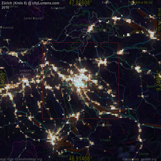
Analysis of Zürich (Kreis 6) night lights 2016
Square area 10x10 km:
 37.93%
90-99
24.15%80-89
3.55%70-79
3.27%60-69
4.55%50-59
5.68%40-49
10.37%30-39
9.52%20-29
0.99%10-19
0%0-9
0%Square area 50x50 km:
2.73%90-99
2.84%80-89
1.28%70-79
1.67%60-69
2.48%50-59
2.06%40-49
2.87%30-39
2.95%20-29
4.49%10-19
15.61%0-9
61.04%Clear (daylight) street map image can be seen on geolist.org.
Map coordinates:
47° 51' 57.9" North, 7° 50' 26.5" East
47° 23' 32" North, 8° 32' 37.7" East
46° 54' 50.7" North, 9° 14' 49" East
Some cities around Zürich (Kreis 6) sort by population:
• Zürich
2.9 km =1.8 mi,  170°
170°
• Dübendorf
5.7 km =3.5 mi,  84°
84°
• Wallisellen
4.7 km =2.9 mi,  57°
57°
• Dietlikon / Dietlikon (Dorf)
6.3 km =3.9 mi, 62°
• Zollikon
6.2 km =3.9 mi,  158°
158°
• Oberengstringen
6.2 km =3.9 mi,  286°
286°
• Rümlang
6.6 km =4.1 mi,  350°
350°
• Wallisellen / Wallisellen-Ost
4.7 km =2.9 mi, 58°
6295550 (p: 29,951)
Sources (retrieved 2019-11-25):
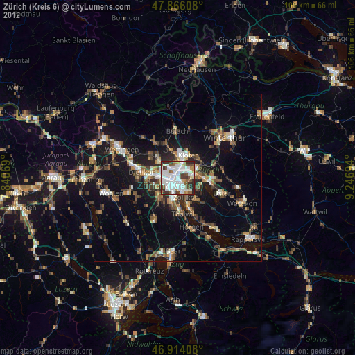
» Earth at Night: Flat Maps 2012, 2016