Zürich night lights from space
Night Light of Zürich (Zurich) from space (Switzerland) Src. Average luminocity for 10x10km area is 74.2783% and for 50x50km: 17.7827%.
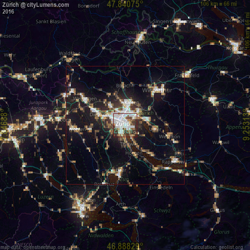
Analysis of Zürich night lights 2016
Square area 10x10 km:
 31.1%
31.1%90-99
19.64%80-89
4.76%70-79
3.72%60-69
5.51%50-59
5.8%40-49
9.97%30-39
12.5%20-29
6.55%10-19
0.45%0-9
0%Square area 50x50 km:
2.72%90-99
2.85%80-89
1.27%70-79
1.61%60-69
2.43%50-59
2.06%40-49
2.86%30-39
2.92%20-29
4.55%10-19
15.83%0-9
60.9%Clear (daylight) street map image can be seen on geolist.org.
Map coordinates:
47° 50' 26.7" North, 7° 50' 48.8" East
47° 22' 0" North, 8° 33' 0" East
46° 53' 17.8" North, 9° 15' 11.3" East
Fantastic image of Zürich from space taken by astronauts [src2], but I don't have information about it's orientation, scale or angle. If necessary, it was rotated manually, so North points approximately to upper direction. Click to zoom in:

Some cities around Zürich sort by population:
• Zürich (Kreis 8)
1.6 km =1 mi,  147°
147°
• Zürich (Kreis 4) / Langstrasse
2 km =1.2 mi,  307°
307°
• Zürich (Kreis 7) / Hottingen
1.1 km =0.7 mi,  68°
68°
• Zürich (Kreis 2) / Enge
1.6 km =1 mi,  244°
244°
• Zürich (Kreis 7) / Fluntern
1.7 km =1.1 mi,  29°
29°
• Zürich (Kreis 7) / Hirslanden
1.4 km =0.9 mi,  109°
109°
• Zürich (Kreis 1)
0.8 km =0.5 mi,  304°
304°
• Zürich (Kreis 8) / Mühlebach
1.2 km =0.7 mi, 151°
2657896 (p: 341,730)
Sources (retrieved 2019-11-25):
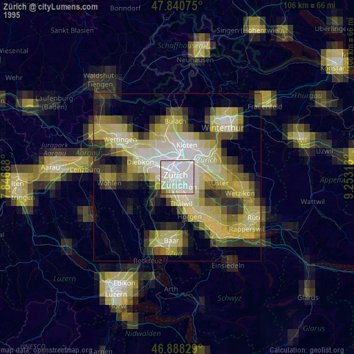
» NASA, Earths city lights 1995
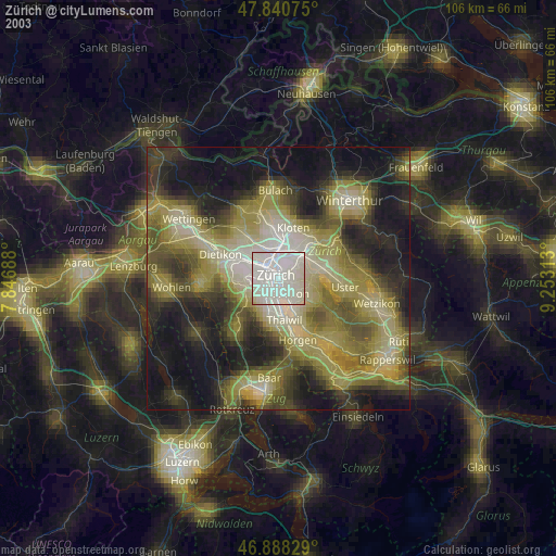
» NASA city lights 2003
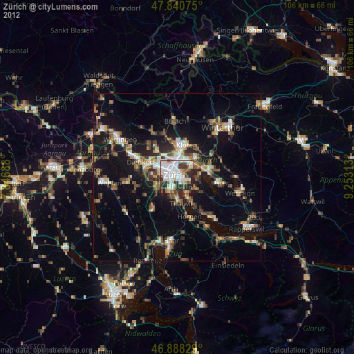
» Earth at Night: Flat Maps 2012, 2016
Src.2: esa.int