Zürich (Kreis 12) night lights from space
Night Light of Zürich (Kreis 12) (Zurich) from space (Switzerland) Src. Average luminocity for 10x10km area is 72.0895% and for 50x50km: 16.8896%.
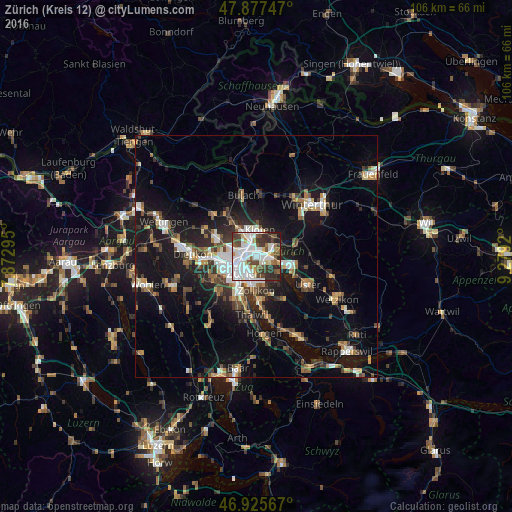
Analysis of Zürich (Kreis 12) night lights 2016
Square area 10x10 km:
 27.27%
90-99
21.02%80-89
4.83%70-79
3.41%60-69
3.55%50-59
9.23%40-49
9.52%30-39
10.37%20-29
9.09%10-19
1.7%0-9
0%Square area 50x50 km:
2.7%90-99
2.69%80-89
1.34%70-79
1.57%60-69
2.3%50-59
1.85%40-49
2.78%30-39
2.8%20-29
4.2%10-19
14.22%0-9
63.57%Clear (daylight) street map image can be seen on geolist.org.
Map coordinates:
47° 52' 38.9" North, 7° 52' 22.6" East
47° 24' 13.4" North, 8° 34' 33.9" East
46° 55' 32.4" North, 9° 16' 45.1" East
Some cities around Zürich (Kreis 12) sort by population:
• Zürich
4.6 km =2.9 mi,  205°
205°
• Dübendorf
3.3 km =2.1 mi,  102°
102°
• Kloten
5.4 km =3.4 mi,  7°
7°
• Wallisellen
2 km =1.2 mi,  51°
51°
• Bassersdorf
5.9 km =3.7 mi,  41°
41°
• Dietlikon / Dietlikon (Dorf)
3.6 km =2.2 mi,  63°
63°
• Rümlang
6.2 km =3.9 mi,  326°
326°
• Wallisellen / Wallisellen-Ost
2 km =1.2 mi, 53°
6295523 (p: 28,189)
Sources (retrieved 2019-11-25):
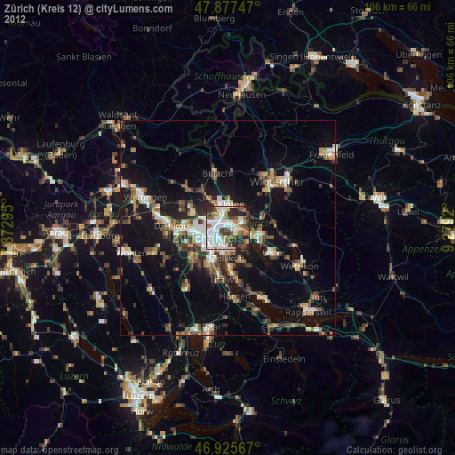
» Earth at Night: Flat Maps 2012, 2016