Frauenfeld night lights from space
Night Light of Frauenfeld (Thurgau) from space (Switzerland) Src. Average luminocity for 10x10km area is 11.5682% and for 50x50km: 9.4757%.
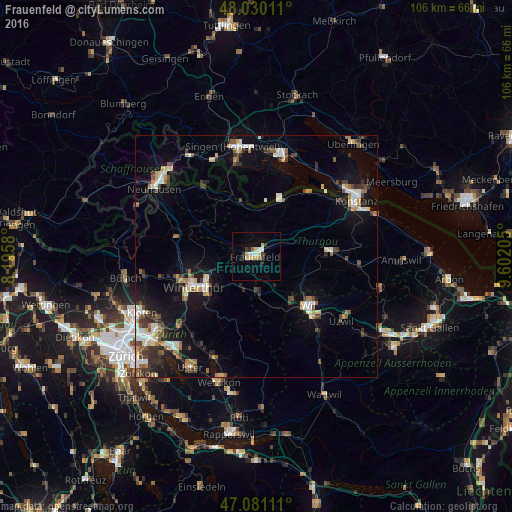
Analysis of Frauenfeld night lights 2016
Square area 10x10 km:
 1.56%
1.56%90-99
1.28%80-89
2.84%70-79
2.13%60-69
0.14%50-59
0.57%40-49
0.57%30-39
1.99%20-29
1.14%10-19
1.99%0-9
85.8%Square area 50x50 km:
1.23%90-99
1.64%80-89
0.9%70-79
0.86%60-69
1.08%50-59
1.04%40-49
1.45%30-39
1.53%20-29
1.92%10-19
6.35%0-9
81.99%Clear (daylight) street map image can be seen on geolist.org.
Map coordinates:
48° 1' 48.4" North, 8° 11' 44.9" East
47° 33' 27.9" North, 8° 53' 56.1" East
47° 4' 52" North, 9° 36' 7.4" East
Some cities around Frauenfeld sort by population:
• Oberwinterthur (Kreis 2)
10.8 km =6.7 mi,  245°
245°
• Seen (Kreis 3)
13.2 km =8.2 mi,  226°
226°
• Mattenbach (Kreis 7)
13.9 km =8.6 mi,  235°
235°
• Aadorf
7.3 km =4.5 mi,  178°
178°
• Sirnach
13 km =8.1 mi,  145°
145°
• Mattenbach (Kreis 7) / Deutweg
13.9 km =8.6 mi, 239°
• Oberwinterthur (Kreis 2) / Guggenbühl
11.5 km =7.1 mi, 244°
• Oberwinterthur (Kreis 2) / Talacker
12.5 km =7.8 mi, 242°
2660727 (p: 21,979)
Sources (retrieved 2019-11-25):
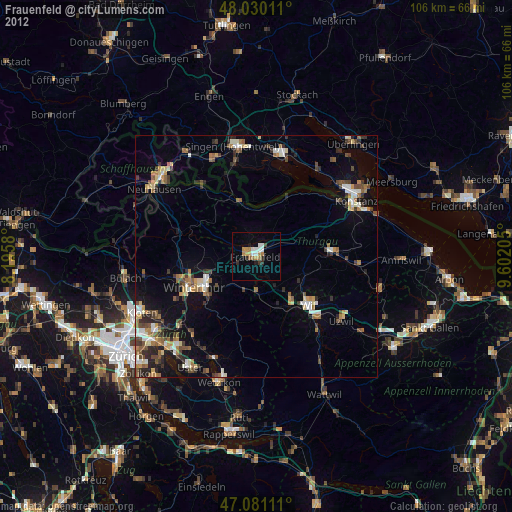
» Earth at Night: Flat Maps 2012, 2016