Dietikon night lights from space
Night Light of Dietikon (Zurich) from space (Switzerland) Src. Average luminocity for 10x10km area is 40.2216% and for 50x50km: 18.1628%.
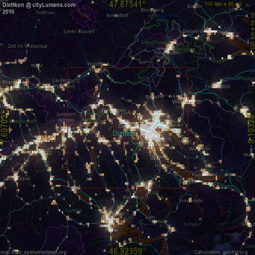
Analysis of Dietikon night lights 2016
Square area 10x10 km:
 5.82%
5.82%90-99
6.25%80-89
3.55%70-79
4.12%60-69
5.54%50-59
6.11%40-49
7.1%30-39
7.1%20-29
18.61%10-19
35.37%0-9
0.43%Square area 50x50 km:
2.74%90-99
2.84%80-89
1.3%70-79
1.57%60-69
2.61%50-59
2.36%40-49
3%30-39
3%20-29
4.79%10-19
17.1%0-9
58.69%Clear (daylight) street map image can be seen on geolist.org.
Map coordinates:
47° 52' 31.5" North, 7° 41' 49.3" East
47° 24' 5.9" North, 8° 24' 0.5" East
46° 55' 24.9" North, 9° 6' 11.8" East
Some cities around Dietikon sort by population:
• Zürich (Kreis 9)
6.4 km =4 mi,  109°
109°
• Zürich (Kreis 9) / Altstetten
6.6 km =4.1 mi,  101°
101°
• Schlieren
3.6 km =2.2 mi, 98°
• Spreitenbach
3.4 km =2.1 mi,  314°
314°
• Urdorf
2.7 km =1.7 mi,  133°
133°
• Regensdorf
6.3 km =3.9 mi,  55°
55°
• Oberengstringen
4.9 km =3 mi,  81°
81°
• Würenlos
5.3 km =3.3 mi,  327°
327°
2661015 (p: 20,893)
Sources (retrieved 2019-11-25):
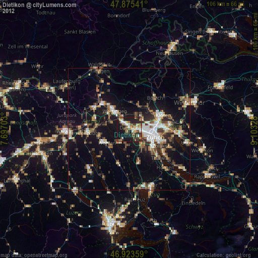
» Earth at Night: Flat Maps 2012, 2016