Zürich (Kreis 9) night lights from space
Night Light of Zürich (Kreis 9) (Zurich) from space (Switzerland) Src. Average luminocity for 10x10km area is 68.0848% and for 50x50km: 18.1849%.
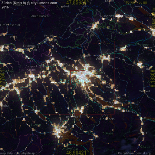
Analysis of Zürich (Kreis 9) night lights 2016
Square area 10x10 km:
 27.53%
90-99
16.82%80-89
4.46%70-79
4.32%60-69
6.1%50-59
4.91%40-49
8.33%30-39
9.67%20-29
10.27%10-19
7.29%0-9
0.3%Square area 50x50 km:
2.69%90-99
2.84%80-89
1.32%70-79
1.66%60-69
2.58%50-59
2.28%40-49
2.88%30-39
3.08%20-29
4.44%10-19
16.76%0-9
59.46%Clear (daylight) street map image can be seen on geolist.org.
Map coordinates:
47° 51' 23" North, 7° 46' 36.5" East
47° 22' 56.8" North, 8° 28' 47.7" East
46° 54' 15.2" North, 9° 10' 59" East
Some cities around Zürich (Kreis 9) sort by population:
• Zürich
5.6 km =3.5 mi,  108°
108°
• Dietikon
6.4 km =4 mi,  289°
289°
• Schlieren
2.9 km =1.8 mi,  303°
303°
• Urdorf
4.1 km =2.5 mi,  274°
274°
• Regensdorf
5.8 km =3.6 mi,  351°
351°
• Kilchberg
8.1 km =5 mi,  142°
142°
• Oberengstringen
3.1 km =1.9 mi,  338°
338°
• Rümlang
8.4 km =5.2 mi,  26°
26°
6295534 (p: 44,878)
Sources (retrieved 2019-11-25):
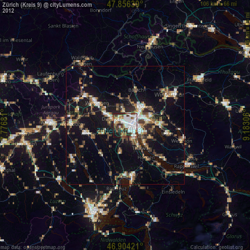
» Earth at Night: Flat Maps 2012, 2016