Chur night lights from space
Night Light of Chur (Grisons) from space (Switzerland) Src. Average luminocity for 10x10km area is 9.1726% and for 50x50km: 1.5737%.
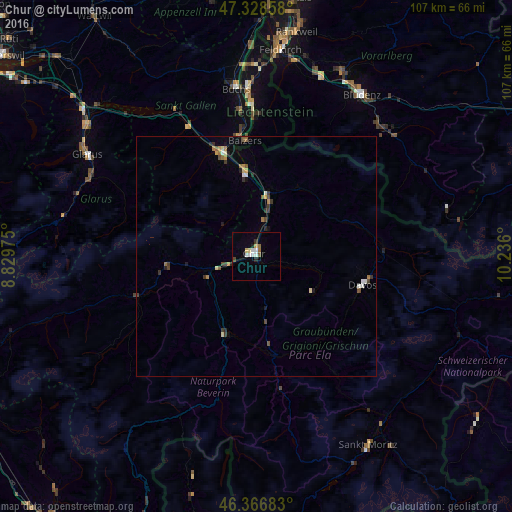
Analysis of Chur night lights 2016
Square area 10x10 km:
 1.93%
1.93%90-99
1.64%80-89
1.04%70-79
0.74%60-69
1.04%50-59
0.74%40-49
0.6%30-39
0.45%20-29
1.49%10-19
0.45%0-9
89.88%Square area 50x50 km:
0.14%90-99
0.2%80-89
0.15%70-79
0.22%60-69
0.26%50-59
0.17%40-49
0.28%30-39
0.33%20-29
0.27%10-19
0.22%0-9
97.76%Clear (daylight) street map image can be seen on geolist.org.
Map coordinates:
47° 19' 42.9" North, 8° 49' 47.1" East
46° 50' 59.5" North, 9° 31' 58.3" East
46° 22' 0.6" North, 10° 14' 9.6" East
Some cities around Chur sort by population:
• Davos
23.7 km =14.7 mi,  102°
102°
• Igis
11 km =6.8 mi,  15°
15°
• Domat
6.5 km =4 mi,  255°
255°
• Bad Ragaz
17.5 km =10.9 mi,  352°
352°
• Sargans
23.2 km =14.4 mi,  342°
342°
• Triesen, LI
28.7 km =17.8 mi,  359°
359°
• Balzers, LI
24.2 km =15 mi, 354°
• Triesenberg, LI
29.8 km =18.5 mi,  1°
1°
2661169 (p: 32,429)
Sources (retrieved 2019-11-25):
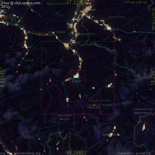
» Earth at Night: Flat Maps 2012, 2016