Perth night lights from space
Night Light of Perth (Ontario) from space (Canada) Src. Average luminocity for 10x10km area is 9.6571% and for 50x50km: 1.0338%.
Analysis of Perth night lights 2016
Square area 10x10 km:
 1.11%
1.11%90-99
2.38%80-89
0.95%70-79
0.95%60-69
1.59%50-59
1.27%40-49
0.16%30-39
1.75%20-29
0%10-19
0.63%0-9
89.21%Square area 50x50 km:
0.07%90-99
0.18%80-89
0.12%70-79
0.12%60-69
0.23%50-59
0.1%40-49
0.12%30-39
0.1%20-29
0.13%10-19
0.07%0-9
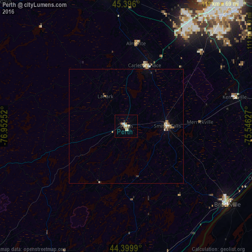
98.75%Clear (daylight) street map image can be seen on geolist.org.
Map coordinates:
45° 23' 45.6" North, 76° 57' 9.1" West
44° 54' 0.4" North, 76° 14' 57.8" West
44° 23' 59.6" North, 75° 32' 46.6" West
Some cities around Perth sort by population:
• Nepean
63.7 km =39.6 mi,  40°
40°
• Kanata
51.6 km =32.1 mi,  30°
30°
• Brockville
56.1 km =34.9 mi,  127°
127°
• Bells Corners
56.7 km =35.2 mi, 35°
• Carleton Place
27.1 km =16.8 mi,  16°
16°
• Arnprior
59.8 km =37.2 mi,  352°
352°
• Smiths Falls
17.8 km =11.1 mi,  88°
88°
• Gananoque
63.4 km =39.4 mi,  174°
174°
6101546 (p: 5,573)
Sources (retrieved 2019-11-25):
» Earth at Night: Flat Maps 2012, 2016