Notre-Dame-de-Grâce night lights from space
Night Light of Notre-Dame-de-Grâce (Quebec) from space (Canada) Src. Average luminocity for 10x10km area is 97.2794% and for 50x50km: 60.5248%.
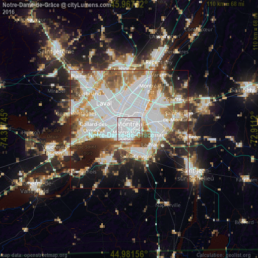
Analysis of Notre-Dame-de-Grâce night lights 2016
Square area 10x10 km:
 77.94%
90-99
16.03%80-89
0%70-79
1.75%60-69
1.59%50-59
1.11%40-49
1.59%30-39
0%20-29
0%10-19
0%0-9
0%Square area 50x50 km:
23.26%90-99
14.2%80-89
4.7%70-79
5.72%60-69
5.85%50-59
5.63%40-49
6.46%30-39
6.04%20-29
6.83%10-19
9.17%0-9
12.14%Clear (daylight) street map image can be seen on geolist.org.
Map coordinates:
45° 58' 3.4" North, 74° 19' 2.8" West
45° 28' 36.3" North, 73° 36' 51.6" West
44° 58' 53.6" North, 72° 54' 40.3" West
Some cities around Notre-Dame-de-Grâce sort by population:
• Montréal
4.1 km =2.5 mi,  30°
30°
• Saint-Laurent
4.8 km =3 mi,  302°
302°
• Côte-Saint-Luc
4.2 km =2.6 mi,  252°
252°
• Westmount
1.4 km =0.9 mi,  57°
57°
• Mont-Royal
5.2 km =3.2 mi,  328°
328°
• Sainte-Catherine
8.9 km =5.5 mi,  163°
163°
• Hampstead
3.8 km =2.4 mi,  276°
276°
• Montréal-Ouest
3.8 km =2.4 mi,  225°
225°
6091314 (p: 67,000)
Sources (retrieved 2019-11-25):
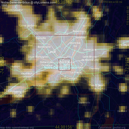
» NASA, Earths city lights 1995
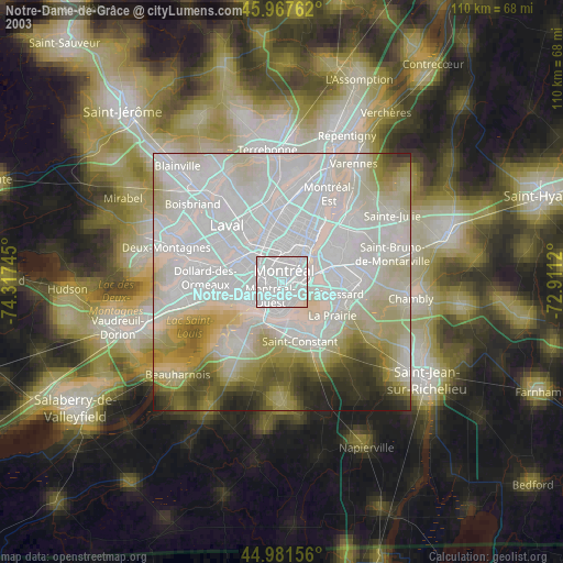
» NASA city lights 2003
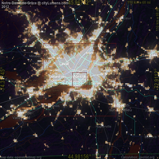
» Earth at Night: Flat Maps 2012, 2016