Côte-Saint-Luc night lights from space
Night Light of Côte-Saint-Luc (Quebec) from space (Canada) Src. Average luminocity for 10x10km area is 95.954% and for 50x50km: 58.9746%.
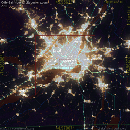
Analysis of Côte-Saint-Luc night lights 2016
Square area 10x10 km:
 79.05%
90-99
12.7%80-89
0.63%70-79
0.16%60-69
1.9%50-59
0.79%40-49
4.29%30-39
0.48%20-29
0%10-19
0%0-9
0%Square area 50x50 km:
22.84%90-99
13.83%80-89
4.47%70-79
5.67%60-69
5.58%50-59
5.21%40-49
5.96%30-39
5.44%20-29
7.27%10-19
10.4%0-9
13.33%Clear (daylight) street map image can be seen on geolist.org.
Map coordinates:
45° 57' 22.8" North, 74° 22' 8.3" West
45° 27' 55.3" North, 73° 39' 57.1" West
44° 58' 12.3" North, 72° 57' 45.8" West
Some cities around Côte-Saint-Luc sort by population:
• Montréal
7.8 km =4.8 mi,  51°
51°
• Saint-Laurent
3.9 km =2.4 mi,  0°
0°
• Notre-Dame-de-Grâce
4.2 km =2.6 mi,  72°
72°
• Westmount
5.6 km =3.5 mi, 68°
• Mont-Royal
5.9 km =3.7 mi,  12°
12°
• Dorval
7.1 km =4.4 mi,  253°
253°
• Hampstead
1.7 km =1.1 mi, 7°
• Montréal-Ouest
1.9 km =1.2 mi,  136°
136°
5928488 (p: 31,395)
Sources (retrieved 2019-11-25):
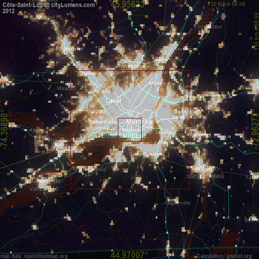
» Earth at Night: Flat Maps 2012, 2016