La Prairie night lights from space
Night Light of La Prairie (Quebec) from space (Canada) Src. Average luminocity for 10x10km area is 73.6619% and for 50x50km: 51.2278%.
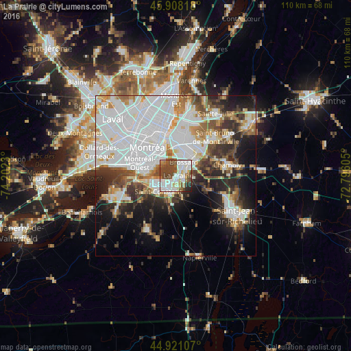
Analysis of La Prairie night lights 2016
Square area 10x10 km:
 23.81%
90-99
22.22%80-89
6.51%70-79
3.33%60-69
5.4%50-59
7.78%40-49
25.08%30-39
1.9%20-29
3.65%10-19
0.32%0-9
0%Square area 50x50 km:
20.82%90-99
11.47%80-89
3.37%70-79
4.24%60-69
3.93%50-59
4.18%40-49
5.68%30-39
5.32%20-29
7.94%10-19
10.51%0-9
22.53%Clear (daylight) street map image can be seen on geolist.org.
Map coordinates:
45° 54' 29.4" North, 74° 12' 8.3" West
45° 25' 0.4" North, 73° 29' 57" West
44° 55' 15.9" North, 72° 47' 45.8" West
Some cities around La Prairie sort by population:
• Brossard
4.5 km =2.8 mi,  35°
35°
• Notre-Dame-de-Grâce
11.2 km =7 mi,  306°
306°
• Saint-Constant
7.6 km =4.7 mi,  223°
223°
• Westmount
10.8 km =6.7 mi, 313°
• Sainte-Catherine
6.8 km =4.2 mi,  254°
254°
• Candiac
3.9 km =2.4 mi,  199°
199°
• Delson
6.8 km =4.2 mi, 215°
• Montréal-Ouest
12.4 km =7.7 mi,  288°
288°
6049863 (p: 21,763)
Sources (retrieved 2019-11-25):
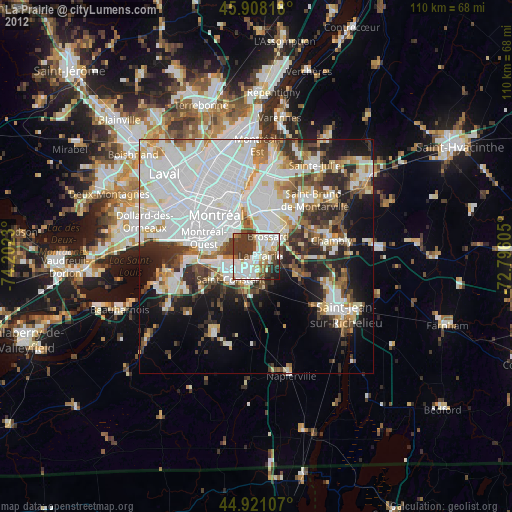
» Earth at Night: Flat Maps 2012, 2016